Berks County
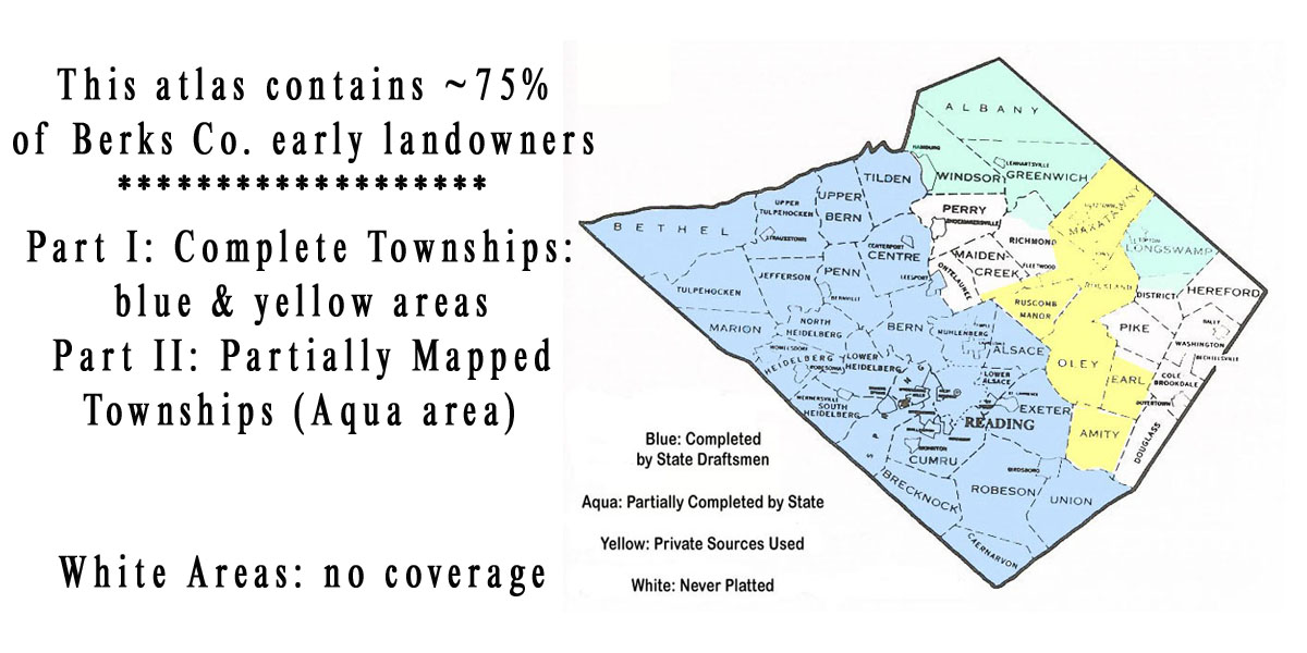
Early Landowners of Pennsylvania: Atlas of Township Warrantee Maps of Berks County
Here is a small section of the Whiteley Township Warrantee Map.
.png)
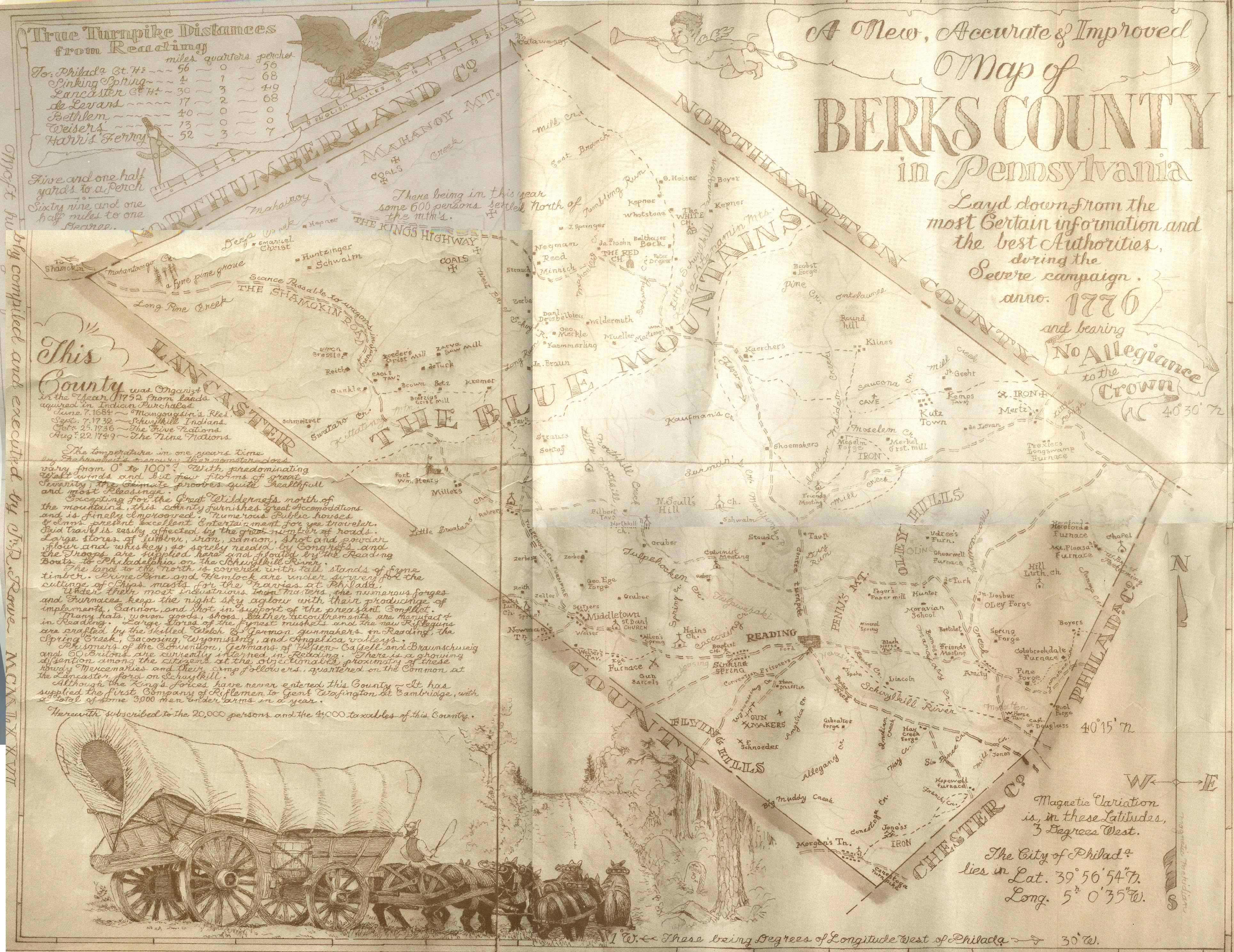
In addition to our Warrantee Atlas, there are several other maps showing the history and landowners of the county. The following is a map showing Berks Co. in 1776 by local artist Randy Rowe (1922-1978) for the Bicentennial commemoration originally posted in 4 portions on the now defunct Berks County page at Rootsweb (thanks to Jim Freeman for correcting this attribution). We have combined the 4 sections and are posting it with John's kind permission. Click on the small image below to see the details--it is a large map so it may take some time to load. it can be enlarged by clicking on the image and then clicking on it again, and it may be saved to your computer by right-clicking and selecting "Save Image As..."
To see where the townships are in relaltion to each other, click here for the 1886 Map of Townships of Berks County from Montgomery.
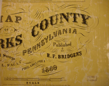
Next, the 1876 Historical Atlas of Berks County has been posted online at The U.S. Genweb Archives site. And lastly, we are posting images from Map of Berks County from Actual Surveys published by H.S. Bridgens in 1860 which can be used in conjunction with the 1860 census to help pinpoint your ancestors. As always, once you click on an image and it is on your screen, it can be enlarged by clicking on the image, and it may be saved to your computer by right-clicking and selecting "Save Image As..."
Finally, we want to draw your attention to the wonderful work by the Berks County Recorder of Deeds. The department has uploaded searchable images of all deeds and mortgages recorded since 1752. The images can be printed or saved as pdf files for a small charge. You will need to set up an account, but after the account is set up you will be able to see all images even if you do not care to print or save them.
Click here to go to the order form.
Click here to go to the product page.
Click here to return to the home page.