
Ancestor Tracks Home

Chester County Resources


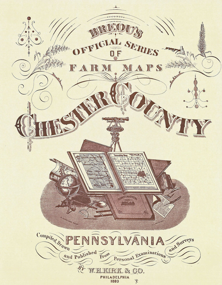
Unfortunately, the state of Pennsylvania did not plat the original warrantees and patentees on township maps, so there will be no volume regarding Chester Co. joining the Early Landowner series. In lieu of being able to produce a book of the earliest landowners, we are posting images from Breou's Official Series of Farm Maps, Chester County published by W.H. Kirk, 1883, courtesy of Nancy Romig of the Western Pennsylvania Genealogical Society. This atlas should be an invaluable tool when used in conjunction with the 1880 census and with the several published histories of Chester County which were published in the late 1800s. As always, once you click on an image and it is on your screen, it can be enlarged by clicking on the image, and it may be saved to your computer by right-clicking and selecting "Save Image As..." Feel free to use the images, but we would appreciate it if you would mention that you got it from http://ancestortracks.com


Breou's Official Series of Farm Maps, Chester County, 1883

Townships Birmingham Township
Caln Township
Charleston Township
East Bradford Township
East Brandywine Township
East Caln Township
East Coventry Township
East Fallowfield Township
East Goshen Township
East Marlborough Township
East Nantmeal Township
East Nottingham Township
East Pikeland Township
East Vincent Township
East Whiteland Township
Easttown Township
Elk Township
Franklin Township
Highland Township
Honey Brook Township
London Britain Township
Longon Grove Township
Londonderry Township
Lower Oxford Township
New Garden Township
New London Township
Newlin Township
North Coventry Township
Penn Township
Pennsbury Township
Pocopson Township
Sadsbury Township
Schuylkill Township
South Coventry Township
Thornbury Township
Tredyffrin Township
Upper Oxford Township
Upper Uwchlan Township
Uwchlan Township
Valley Township
Wallace Township
Warwick Township
West Bradford Township
West Brandywine Township
West Caln Township
West Fallowfield Township
West Goshen Township
West Marlborough Township
West Nantmeal Township
West Nottingham Township
West Pikeland Township
West Sadsbury Township
West Vincent Township
West Whiteland Township
Westtown Township
Willistown Township
Towns and Villages Atglen Borough
Avondale Borough
Birchrunville
Boxtown
Byers Station
Cedarville/Pottstown Landing
Charlestown
Chatham
Coatsville, Part 1
Coatsville, Part 2
Cochranville
Compassville
Downingtown Borough, Part 1
Downingtown Borough, Part 2
Downingtown Borough, Part 3
Fairville
GlenMore
Goshenville
Guthrieville
Hamorton
Harmonyville
Homeville
Hopewell
Jennerville
Kemblesville
Kennett Square Borough
Kimberton
Knauertown
Lincoln
Lionville
Malvern Borough
Marshalton
Oxford Borough
Parkersville
Parkesburg Borough
Pennsbury
Phoenixville Borough, Part 1
Phoenixville Borough, Part 2
Phoenixville Borough, Part 3
Pomeroy
Rock Run
Romansville
Russellville
Sadsburyville
Spring City Borough
Springfield
St. Mary's
Sugartown
Toughkenamon
Unionville
Valley Forge
Waynesburg
West Chester Borough, East Ward
West Chester Borough, North Ward
West Chester Borough, South Ward
West Chester Borough, West Ward
West Grove Borough
Windsor


Estelle Cremers has created connected draft maps of the original owners of land in several townships in northern Chester County. These maps show the tracts according to metes and bounds and include the survey numbers so that the original surveys can be obtained from the Pennsylvania Archives in Harrisburg.

For ordering information contact the Chester County Historical Society at 225 North Nigh Street, West Chester, PA 19380-2691 (Phone: 610/692-4066 ext. 208) (Fax: 610/692-4357).


Chester Co. Township Warrantee Maps
Township Price
East Coventry (original surveys, with errors, by Samuel Lightfoot; email Tri-County Historic Research Associates at tchra@ptd.net for copies)$10.00 (lovely map printed on parchment)
North Coventry (original surveys, with errors, by Samuel Lightfoot; email Tri-County Historic Research Associates at tchra@ptd.net for copies)$10.00 (lovely map printed on parchment)
South Coventry (original surveys, with errors, by Samuel Lightfoot; email Tri-County Historic Research Associates at tchra@ptd.net for copies)$10.00 (lovely map printed on parchment)
East Pikeland$10.00
West Pikeland$10.00
East Vincent$10.00
West Vincent$10.00
Warwick (overlaps into Berks and Lancaster Counties)$10.00
Upper Uwchlan$10.00

Mrs. Cremers has also published five books:

Chester Co. Early Landowner Books
Township Price
30,000 acres, History of the Vincents and the Pikelands$20.00 (warrantee maps must be ordered separately, but maps of leases 1744-1747 are included)
Reading Furnace, 1736$15.00 (small warrantee map of this area is included)
Treasures of the Upper French Creek, Warwick Township$20.00 (small warrantee maps are included)
Coventry the Skool Kill District. Basic History of the Three Coventry Townships, 1700-1850$30.00 (small, corrected Lightfoot warrantee maps of the three Coventrys are included in the book)
The Upper Uwchlan, A Place Betwixt and Between$25.00 (available from the Upper Uwchlan Township Historic Commission)

For Township Warrantee Maps of Wallace Township and Charlestown Township (which overlaps Schuylkill Township), contact the Chester County Historical Society at 225 North Nigh Street, West Chester, PA 19380-2691 (Phone: 610/692-4066 ext. 208) (Fax: 610/692-4357).

Additional warrantee maps may appear in the Churchman Papers at the society. Also scroll down on the Chester County Historical Society's site to its "Museum Shop" to find other county resources that may be of interest.

Another possible source of maps for Chester Co. is Tri-County Heritage Society at maintains a library (open on Tuesdays from 10 a.m. to 8 p.m.) at 4979 Twin Valley Rd., Elverson, PA 19520 (mailing address: P.O. Box 352, Morgantown, PA 19543; 610/286-7477). Pamela Shenk, proprietor, and Barbara Rutz, mapping designer, will provide copies of maps made for previous clients, as well as trace property profiles for any land in southeast Pennsylvania from the current owner to the earliest patentee. They can be reached by email at tchs@dejazzd.com.

The final source for maps and land documents is Chester County Archives & Records Services , 601 Westtown Rd., Suite 080, P.O. Box 2747, West Chester, PA 19380-0990 (Phone: 610/344-6760).


Click here to go to the product page.
Click here to return to the home page.