![]()
Researchers are indeed fortunate, however, that Hayes R. Eschenmann began to systematically research and map the tracts of the earliest landowners of the county, aligning their surveys with USGS topographic quadrangle maps. He published volumes for four quadrangles before his passing, and his project was taken up by his editor, Paul Barner, who completed the additional volumes.
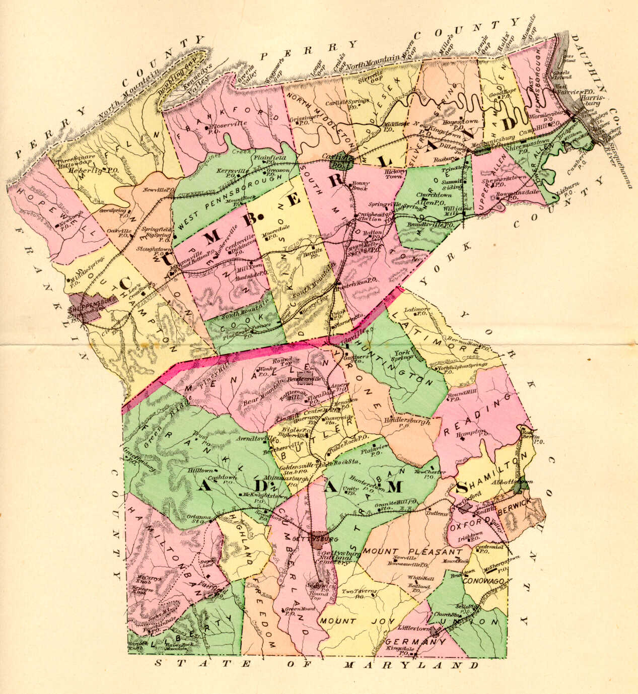
35 volumes of First Families of Cumberland County have been published, each of which includes a 22" X 30" map showing the tracts, and they may be ordered for $18 each plus $5.00 each for shipping, with a discount if you buy more than 5 volumes. The index to the volumes is available on this site, as well as a key to the Quadrangle abbreviations. Cumberland County Historical Society (click on "Publications" under "The Shop" as follows:
Volume I: Shippensburg Quadrangle; land in Cumberland and Franklin Counties.
Volume 2: Newburg Quadrangle; land in Cumberland, Perry, and Franklin Counties
Volume 3: Newville Quadrangle; Cumberland County
Volume 4: Walnut Bottom Quadrangle; Cumberland County
Volume 5: Plainfield Quandrangle; Cumberland County
Volume 6: Andersonburg Quadrangle (Doubling Gap) & Landisburg Quadrangle (McClure's Gap); Cumberland County
Volume 7: Dickinson Quadrangle; Cumberland and Adams County
Volume 8: Caledonia Park Quadrangle; land in Cumberland, Franklin and Adams Counties
Volume 9: Scotland Quadrangle; Franklin County
Volume 10: Chambersburg Quadrangle; Franklin County
Volume 11: Roxbury Quadrangle; Franklin County
Volume 12: Carlisle Quadrangle; Cumberland County
Volume 13: Waynesboro and Southern Washington Twp.; Franklin County
Volume 14: Shermans Dale and Wertzville Quadrangles; Cumberland and Perry Counties
Volume 15 : Greencastle and Stateline; Franklin County
Volume 16: Mount Holly Springs Quadrangle; land in Cumberland, Adams, and York Counties
Volume 17: South Mountain (Iron Springs Quadrangle) and Blue Ridge Summit Quadrangle; Franklin County
Volume 18: Mechanicsburg Quadrangle and White Rocks (Dillsburg); land in Cumberland and York Counties
Volume 19: Williamson and Mason-Dixon Quadrangles; Franklin County
Volume 20: The West Shore (Harrisburg West, Lemoyne, Steelton); Cumberland County
Volume 21: Saint Thomas Quadrangle; Franklin County
Volume 22: Mercersburg Quadrangle & Kasiesville (Clear Spring Quadrangle); Franklin County
Volume 23: Little Cove & Big Cove Tannery Quadrangle; land in Franklin and Fulton Counties
Volume 24: Fort Loudon & McConnellsburg Quadrangle; Franklin County
Volume 25: Fannettsburg Quadrangle; Franklin and Huntingdon Counties
Volume 26: Burnt Cabins Quadrangle; Franklin, Fulton and Huntingdon Counties
Volume 27: Meadow Grounds Quadrangle; Fulton County
Volume 28: Doylesburg Quadrangle; Franklin County
Volume 29: Shade Gap Quadrangle; Huntingdon and Franklin Counties
Volume 30: Blairs Mills Quadrangle; Hungtondon, Franklin, Juniata, and Perry Counties
Volume 31: Aughwick Quadrangle; Huntingdon and Mifflin Counties
Volume 32: Needmore Quadrangle; Fulton County
Volume 33: McCoysville Quadrangle; Juniata County
Volume 34: Orbisonia Quadrangle; Huntingdon County
Volume 35: Hustontown Quadrangle; Fulton and Huntingdon Counties
Click here to go to the Ancestor Tracks product page.
Click here to return to the Ancestor Tracks home page.