The warrantee maps show the location of the earliest landowners of the county--in other words, those who bought their land directly from the colony or state. After a tract was transferred to a private individual, subsequent transactions were recorded in the county courthouse. Each original Township Warrantee Map was painstakingly platted by draftsmen from the original warrants, surveys, and patents on file in Harrisburg. The maps show precise outlines in metes and bounds of each original tract and all surrounding tracts in the township, making it possible to locate allied families, baptismal sponsors, neighbors, fellow church members, and migration companions. If your ancestor was actually a first landowner in the county, purchasing his or her property directly from the colony or state of Pennsylvania, you should find him or her in this atlas. Likewise, if your ancestor was a neighbor to one of these tracts, you will probably find his or her name in the numerous footnotes included in this volume.
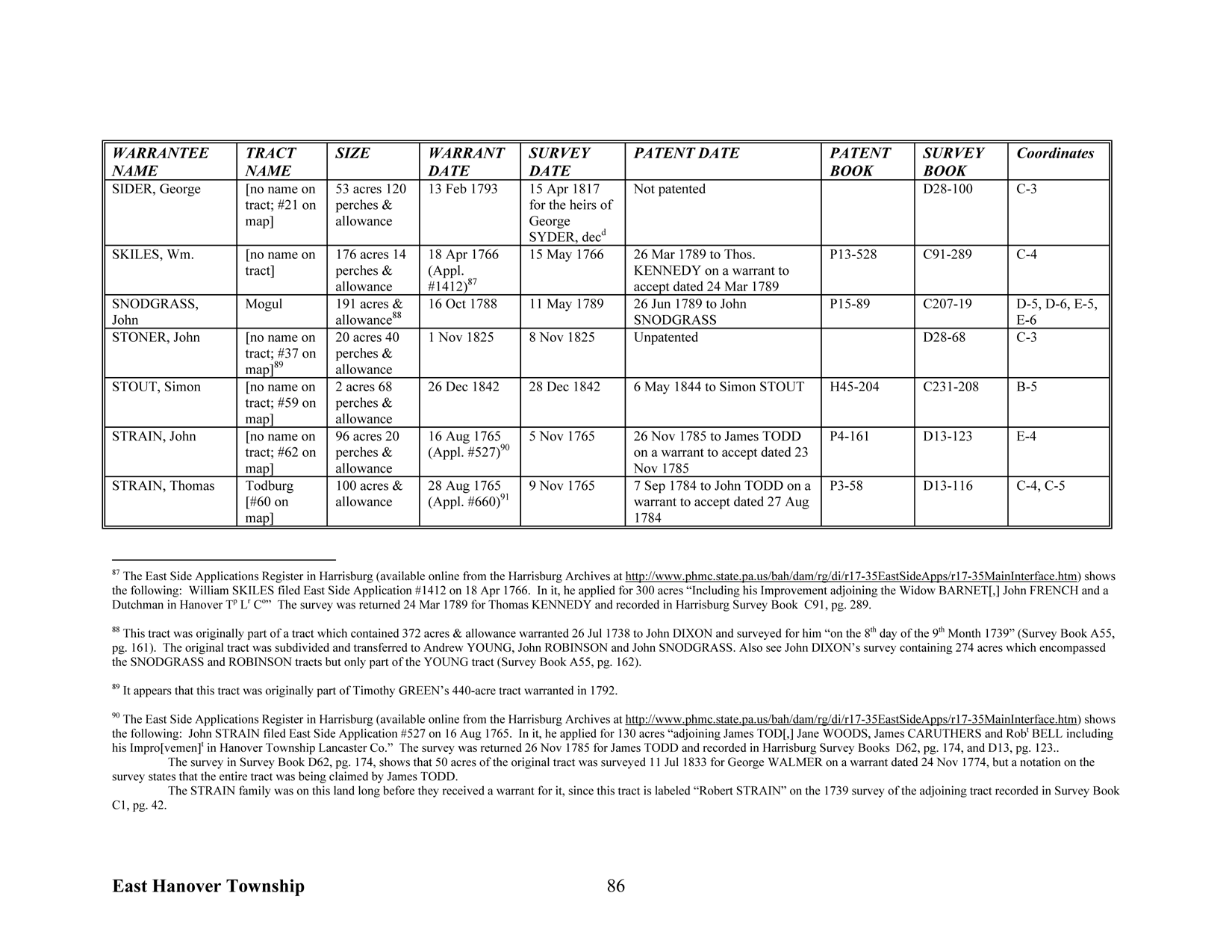
Nearly all of the individual loose surveys were gathered together and copied into ledgers early in the 20th century, and we are indeed fortunate that the Pennsylvania Archives, under the direction of Jonathan Stayer, has posted these "Copied Survey Books" online. To find the Survey Book and page number, consult the "Survey Book" column in this atlas (for example, the "Survey Book" entry for George Sider in the page above, D28-100, indicates the survey was recorded in Survey Book D28, pg. 100, which can be seen using the "Copied Survey Books" link above) or the Warrant Register and Patent Register online at the Pennsylvania Archives in Harrisburg and available on CD from Ancestor Tracks. Using the same entry above for George Sider, the chart shows his tract as #21 on the township map located at coordinates C-3 which can be seen using the "second map" link above.
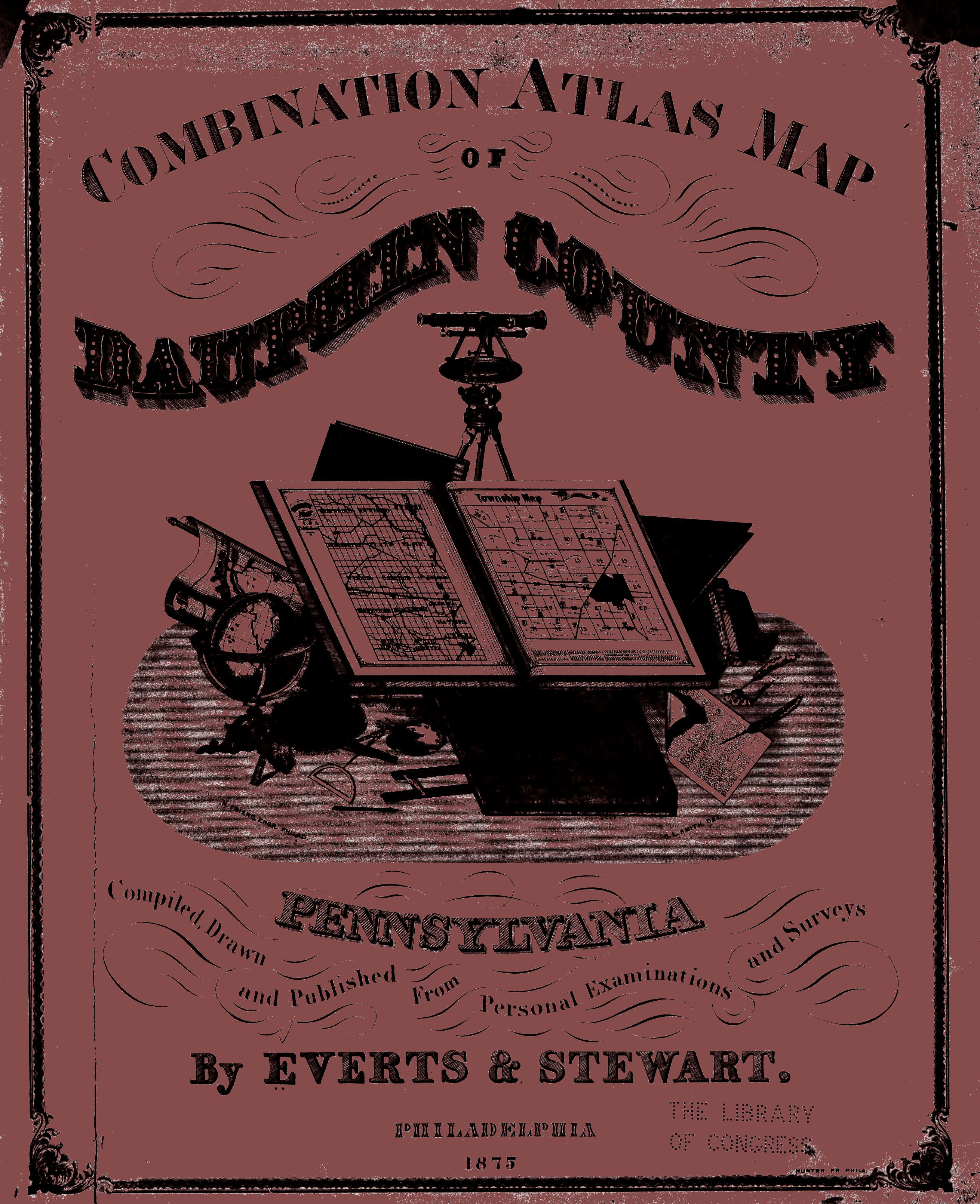
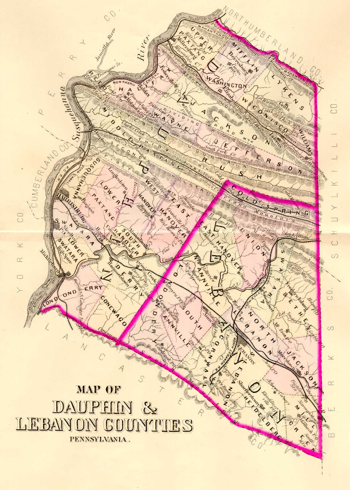
As we have done for numerous Pennsylvania counties (hover over each county on the PA map on our home page), we are posting completely free, downloadable township images from the The Combination Atlas Map of Dauphin County, Pennsylvania Compiled, Drawn and Published From Personal Examinations and Surveys By Everts & Stewart (Philadelphia, 1875). These maps, found in the Library of Congress, are in the public domain but the images we have taken of the atlas posted below belong to us and are not to be used for commercial use. For those wishing to use them for personal use (including illustrating a family history you are working on), we give permission to use them, but we would appreciate attribution to Ancestor Tracks. It takes much time and effort to locate, process, and post these and the many other county images we have posted, so we expect and appreciate this courtesy. We hope that you will find this atlas a useful tool for when coupled with the 1860, 1870 and 1880 census and published county histories. Click on the township of your choice and once they have downloaded completely, click on them again to enlarge and clarify them. They may be saved to your computer by right-clicking and selecting "Save Image As..."
Click all images twice to enlarge
Robert L. Maley has also posted excellent images from this atlas including business listings in the 1875 atlas, etchings of residences and businesses, and, most importantly, a wonderful consolidated index to the atlas. Scroll down the buttons on the left side of his webpage to "Index." Wonderful job, Robert!
Be sure to see Commemorative Biographical Encyclopedia of Dauphin County, Pennsylvania which has been placed online as a .pdf document which may be saved to your computer, and other formats are also available online.
Click here to go to the order form.
Click here to go to the product page.
Click here to return to the home page.