Atlas of Lycoming County Pennsylvania, 1873
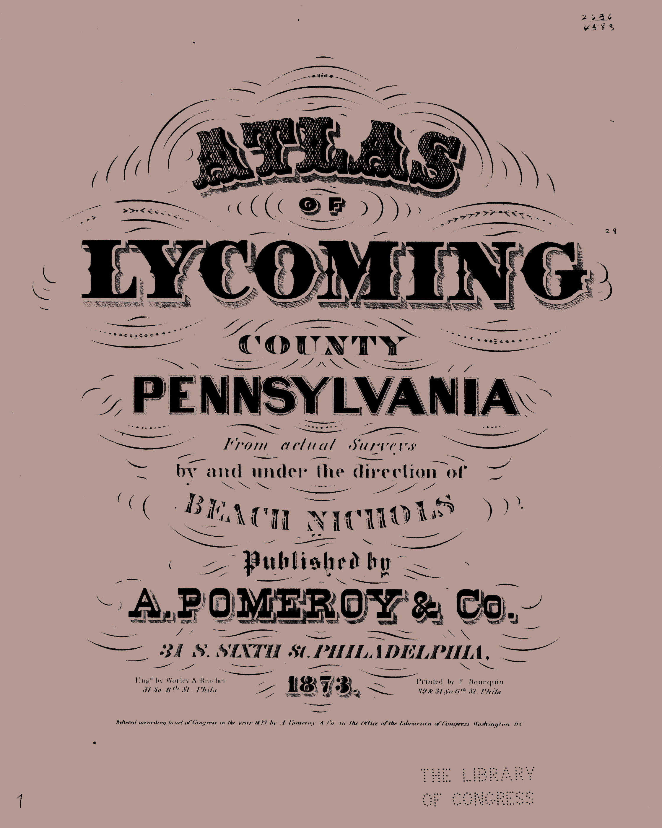
In lieu of being able to bring you Township Warrantee Maps of the earliest settlers, we are posting images from 1873 Atlas of Lycoming County Pennsylvania from Actual Surveys by and under the direction of Beach Nichols published by A. Pomeroy & Co. This atlas is located in the Library of Congress Geography and Map Division Washington, D.C. Unfortunately, because of the quality of the original atlas, we were unable to produce completely clear images but we hope that you will find it a useful tool for when coupled with the 1860, 1870 and 1880 census and published county histories. Speaking of histories, the 1929 History of Lycoming County by Col. Thomas W. Lloyd is currently being transcribed by the Foulkrod Research Group and many chapters are available online, plus the 1892 History of Lycoming County, Pennsylvania edited by John F. Meginness can be downloaded for free from archive.org.
If your ancestor was actually a first landowner in the county, purchasing his or her property from the colony or state of Pennsylvania, further information about these tracts may be gleaned from the Warrant Register and Patent Register on file at the Pennsylvania Archives in Harrisburg and available on CD from Ancestor Tracks. If your ancestor settled before Lycoming Co. was created in 1796, check in the Northumberland County registers which are also included on these CDs. The earliest land warrants were filed under the county as it existed at the time the warrant was issued. Keep in mind that all sales of land after the state or colony transferred ownership to private individuals are recorded at the county courthouse.
Images of the 1873 Lycoming Co. atlas are below. Click on the township of your choice. Once the images are loaded, they will appear to be illegible but they can then be enlarged and clarified by clicking on them. They may also be saved to your computer by right-clicking and selecting "Save Image As..."
Click here to go to the order form.
To see what early Lycoming County looked like circa 1818, see the map by John Melish and copied by John Whiteside.
Click here to go to the product page.
Click here to return to the home page.