![]()
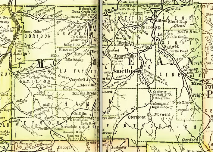
Our goal at Ancestor Tracks is to publish maps and land ownership information allowing researchers to pinpoint the locations where our ancestors lived. Typically, the Warrantee Maps produced by the Land Office of Pennsylvania have been very helpful for genealogists trying to track down the earliest settlers of the county, but vast areas of McKean County were purchased by land speculators after the Treaty of 1784 (also known as the "Last Purchase--see the explanation on our Elk County page). Thus, these maps are less useful to genealogists than the Warrantee Maps produced for areas outside the Last Purchase. Scroll down this page below the images of the 1856 and 1871 landowner maps for links to these McKean County Township Warrantee Maps which have been posted online by the Pennsylvania Archives.
We are posting free, downloadable images from two landowner maps of McKean County, one from 1856 and the other from 1871. We hope these maps will be helpful when coupled with the 1850, 1860, 1870 and 1880 censuses and published county histories such as the 1890 History of the Counties of McKean, Elk, Cameron, and Potter. These maps, on file in the Library of Congress, are in the public domain but the images we have taken belong to us and are not to be used for commercial use. For those wishing to use them for personal use (including illustrating a family history you are working on), we give permission to use them, but we would appreciate attribution to Ancestor Tracks. It takes much time and effort to locate, process, and post these and the many other county images we have posted, so we expect and appreciate this courtesy.
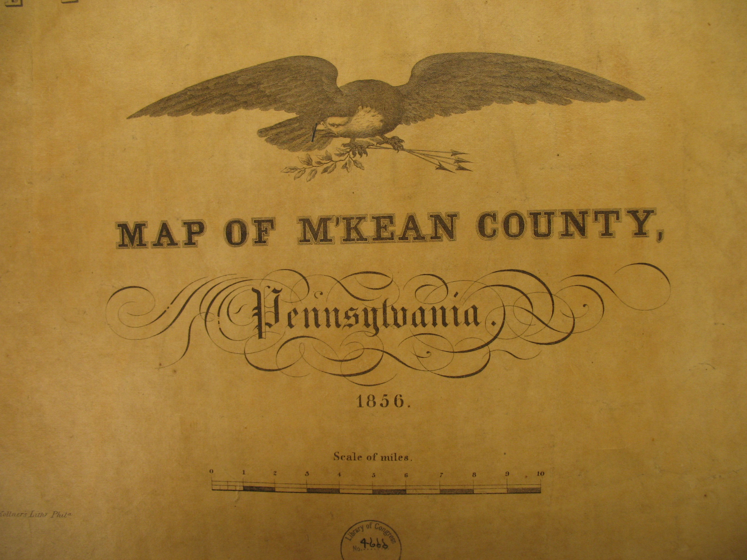
McKean County, 1856
|
|
Township
|
Bradford Township |
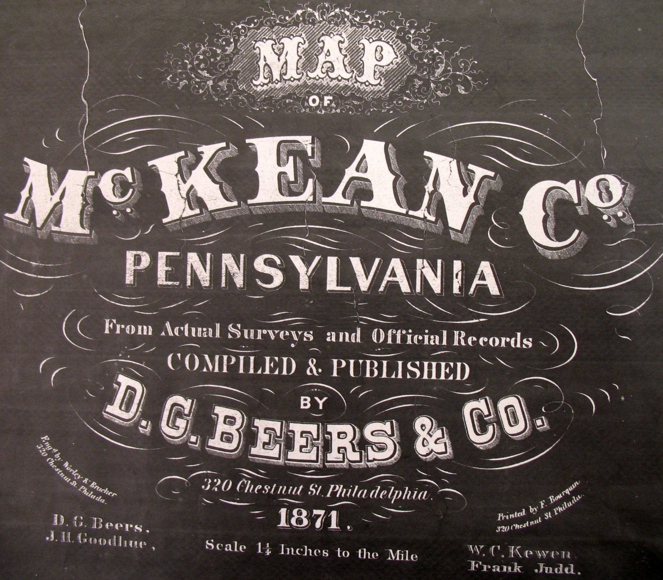
The 1871 map in the Library of Congress is so fragile and faded that it was necessary to make copies from a negative image of the map so that the names would show up legibly. We hope that these images will enable McKean County researchers to locate their ancestors even though the maps are not as pretty as the others we have posted.
McKean County, 1871
|
|
Township
|
Annin Township |
| Boroughs, Towns and Villages | Alton Bradford Ceres DeGolier Duke Center Kane Kendall Creek Port Allegheny Smethport ~~~~~~~~~~~~~~~~~~~~~~~~~~~~~~~~~~~~~~~~~~~~~~~~~~~~~~~~~~~~~~~ Table of Distances Warrantee Abbreviations |
The following Warrantee Township Maps have been posted by the Pennsylvania Archives under the direction of Jonathan Stayer.
McKean County Township Warrantee Maps |
|
Township |
Annin Bradford Ceres Corydon Eldred Foster Hamilton Hamlin Keating Lafayette Liberty Norwich Otto Sergeant Wetmore |
Click here to go to the order form.
Click here to go to the product page.
Click here to return to the home page.