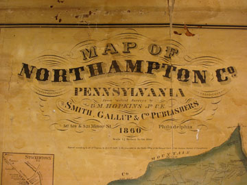
Northampton County Landowner Map Based on Surveys by G. M. Hopkins, 1860
|
Our goal at Ancestor Tracks is to publish maps and land ownership information allowing genealogy researchers to place more precisely the locations where our ancestors lived. The state of Pennsylvania began platting the exact metes-and-bounds tracts of the earliest landowners, township-by-township, starting in 1907, but the Land Office only completed about 1/3 of the state before the project ended. Unfortunately, Pennsylvania did not plat the tracts of the earliest landowners of Northampton County.
To date, only one township has been mapped and published - Marie Robinson has published First Warrantees of Northampton County, Pennsylvania, Lehigh Township. She has listed all of the neighbors on the individual surveys and included images of each survey. A large connected tract map is included, and all names are indexed. Joel Hoffner has been working hard to further map several Northampton County Townships: he has finished Washington, Lower Mount Bethel, and Upper Mount Bethel Townships. In addition, he has completed 95% of Moore, 75% of Hamilton, 75% of Plainfield and Bushkill, and about 30% of Carbon and Penn Townships. This is no mean achievement! Joel shared with me that the three completed townships took about 700 hours of work over five months. You can contact him through his website. Keep up the terrific work, Joel! In lieu of being able to bring you Township Warrantee Maps of the earliest settlers, we are posting the Map of Northampton Co., Pennsylvania which was published in 1860. This map is located in the Library of Congress Geography and Map Division Washington, D.C. We hope that it will be a useful tool for locating your Northampton County families when coupled with the 1860 census and published county histories. An additional online resource is the 1874 Atlas of Northampton County published by A. Pomeroy (use the drop-down menu on the left to see the index on page 1 for navigation purposes). Also, be sure to use History of Northampton County, Pennsylvania edited by Davis and published in 1877. Susan Walters and Joe Patterson are to be commended for transcribing and posting this wonderful work--truly a work of kindness for those of us in the genealogy community. Even though the state did not create Township Warrantee Maps for Northampton County, you can find records for the first landowners of the county in First
Landowners of PA: Colonial and State Warrant Registers in the PA Archives,
Harrisburg, 1682-ca 1940 , as well as the First Landowners of Pennsylvania: Indexes to the Colonial and State Patent Registers in the PA Archives, Harrisburg. In addition, Marie Robinson has platted the original surveys of Lehigh Township, the only township so far to be platted, in First Warrantees of Northampton County, Pennsylvania - Lehigh Township.
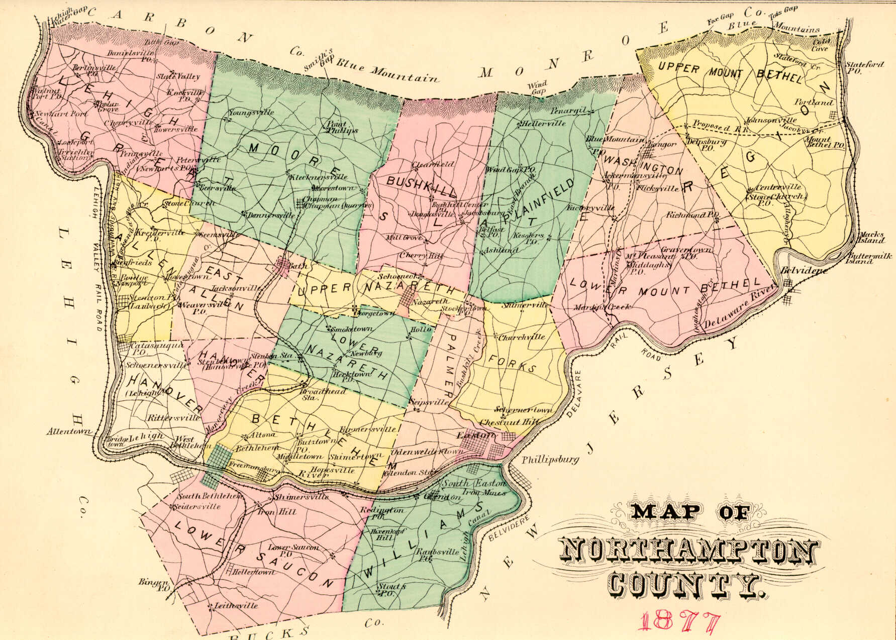
The 1860 Map of Northampton Co., Pennsylvania is below. Click on the township of your choice below. Once the images are loaded, they can be enlarged by clicking on them, and they may be saved to your computer by right-clicking and selecting "Save Image As..."
Click here to go to the Ancestor Tracks order form.
|