![]()
.jpg)
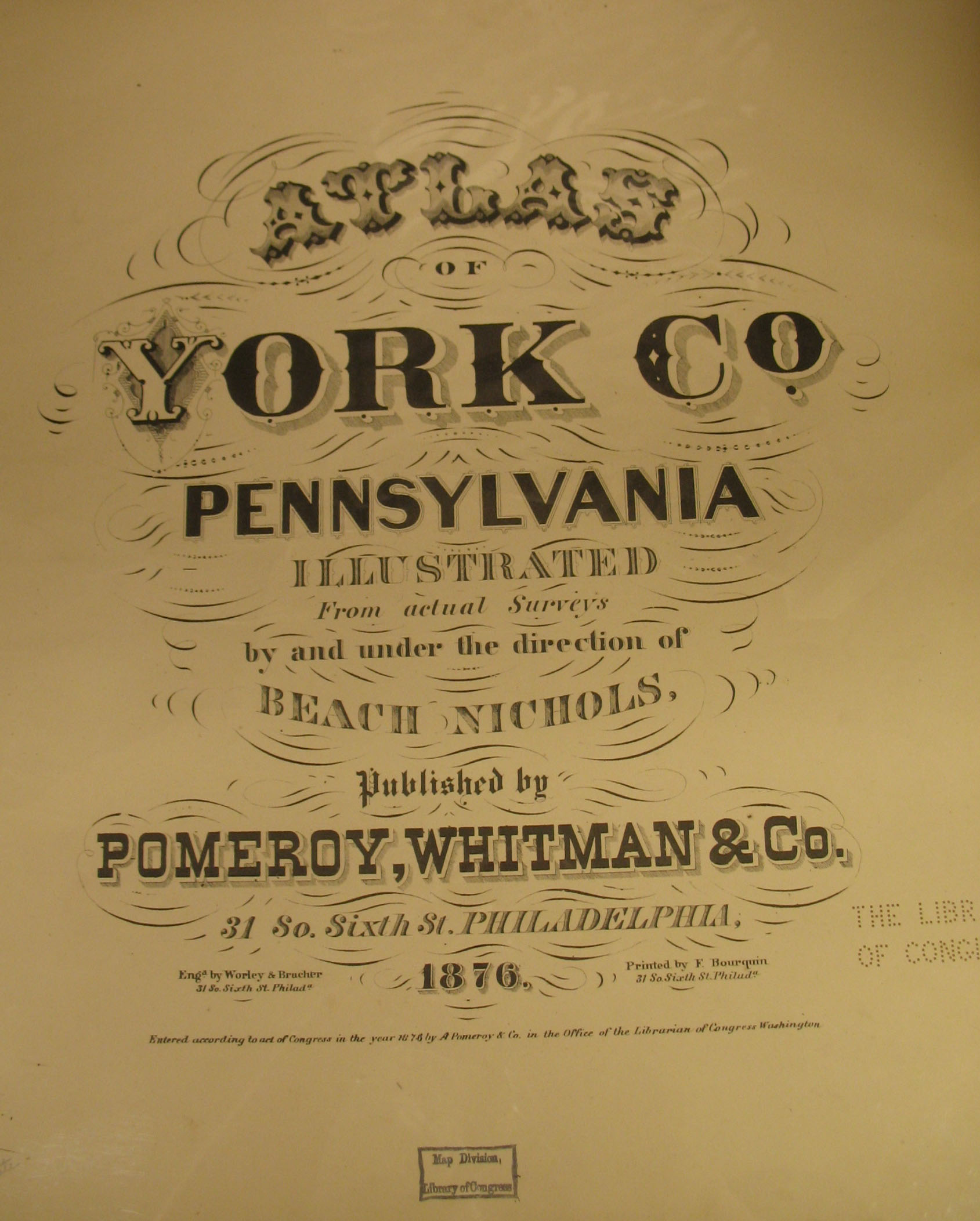
As we have done for numerous Pennsylvania counties (hover over each county on the PA map on our home page), we are posting completely free, downloadable township images from Atlas of York County, Pennsylvania. Illustrated from actual Surveys by and under the direction of Beach Nichols. Published by Pomeroy, Whitman and Co.(Philadelphia, 1876). This atlas, found in the Library of Congress, is in the public domain but the images we have taken of the atlas posted below belong to us and are not to be used for commercial use. For those wishing to use them for personal use (including illustrating a family history you are working on), we give permission to use them, but we would appreciate attribution to Ancestor Tracks. It takes transportation costs, much time and great effort to locate, process, and post these and the many other county images we have posted, so we expect and appreciate this courtesy. We hope that you will find this atlas a useful tool for when coupled with the 1860, 1870 and 1880 census and published county histories. Click on the township of your choice and once they have downloaded completely, click on them again to enlarge and clarify them. They may be saved to your computer by right-clicking and selecting "Save Image As..."
Click here to go to our order form.
Click here to go to our product page.
Click here to return to our home page.