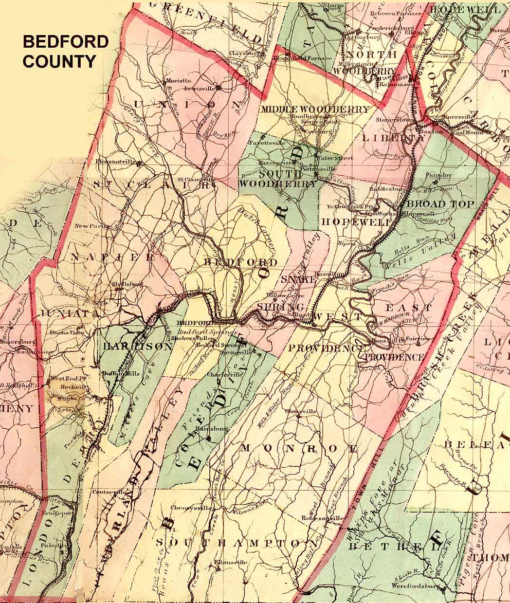
(This Township Map of Bedford County is from 1872)
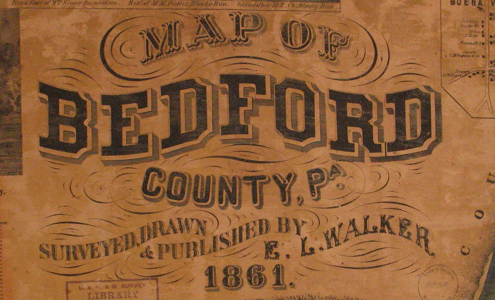
Bedford County Landowner Map Based on Surveys by E. L. Walker, 1861
(This Township Map of Bedford County is from 1872)
Our goal at Ancestor Tracks is to publish maps and land ownership information allowing genealogy researchers to place more precisely the locations where our ancestors lived. The state of Pennsylvania began platting the exact metes-and-bounds tracts of the earliest landowners, township-by-township, starting in 1907, but the Land Office only completed about 1/3 of the state before the project ended. Unfortunately, Pennsylvania did not plat the tracts of the earliest landowners of Bedford County. Jerry Smith is beginning to rectify this situation, however--he has created a conected tract map for Snake Spring Township, plus Everett West, Clearville and Rainsburg quads.
The Pioneer Historical Society of Bedford County has a wealth of early documents, but no connected survey maps. They have, however, indexed neighbors shown on individual surveys. They also have tax lists which have not been microfilmed by LDS, starting with an incomplete list for 1767, and complete lists for 1779. Also, the Orphan Court Index is online.
In lieu of being able to bring you Township Warrantee Maps of the earliest settlers, we are posting the Map of Bedford County, PA Surveyed, Drawn & Published by E. L. Walker in 1861. This map is located in the Library of Congress Geography and Map Division Washington, D.C. We hope that it will be a useful tool for locating your Bedford County families when coupled with the 1860 census and published county histories.
If your ancestor was actually a first landowner in the county, purchasing his or her property from the colony or state of Pennsylvania, further information about these tracts may be gleaned from the Warrant Register and Patent Register on file at the Pennsylvania Archives in Harrisburg and available on CD from Ancestor Tracks. If your ancestor settled before Bedford Co. was created in 1771, check in the Cumberland Co. registers which are also included on these CDs. The earliest land warrants were filed under the county as it existed at the time the warrant was issued. Keep in mind that all sales of land after the state or colony transferred ownership to private individuals are recorded at the county courthouse.
Click here to return to the Ancestor Tracks home page.
Click here to go to the Ancestor Tracks order form.
Click here to go to the Ancestor Tracks product page.