![]()
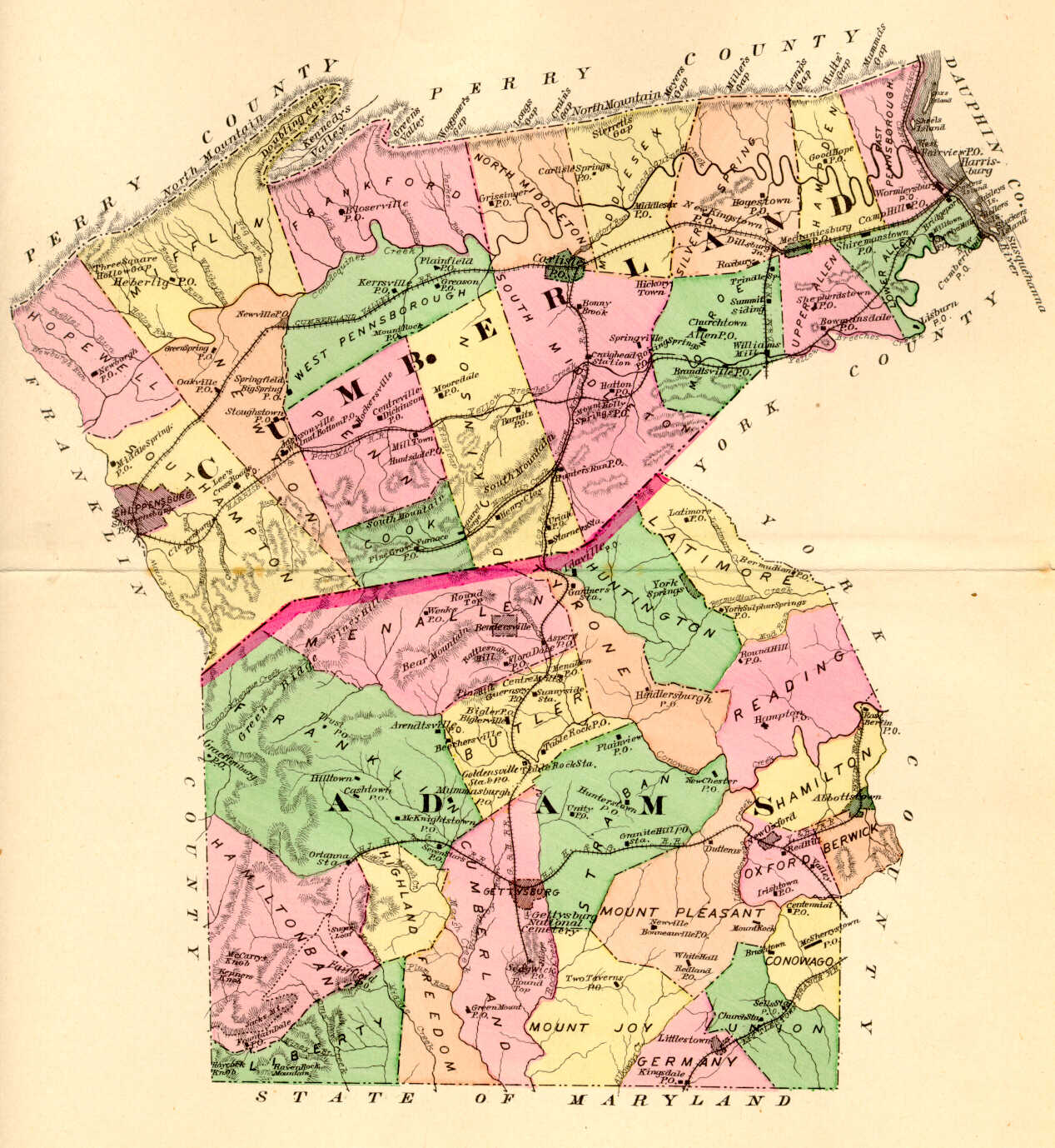
Researchers are indeed fortunate, however, that Hayes R. Eschenmann began to systematically research and map the tracts of the earliest landowners of the county, aligning their surveys with USGS topographic quadrandle maps. He published volumes for four quadrangles before his passing, and his project has been taken up by his editor, Paul Barner, who has completed additional volumes.
13 volumes of First Families of Cumberland County have been published, and they may be ordered for $15 each plus $5.00 each for shipping of the publication and map for a total of $20.00. Purchase any five for a 20% discount from the Cumberland County Historical Society (click on "Publications") as follows:
Volume I: Shippensburg Quadrangle, including lands in both Cumberland and Franklin Counties.
Volume II: Newburg Quadrangle, which includes land in Cumberland, Perry, and Franklin Counties.
Volume III: Newville Quadrangle
Volume IV: Walnut Bottom Quadrangle, both for land only in Cumberland County
Volume V: Plainfield, with lands in Cumberland County.
Volume VI: Andersonburg (Doubling Gap) & Landisburg (McClure's Gap) showing lands in Cumberland County only
Volume VII: Dickinson Quadrangle with lands in Cumberland and Adams County
Volume VIII: Caledonia Park
Volume IX: Scotland, Franklin County County
Volume X: Chambersburg, Franklin County
Volume XI: Roxbury, Franklin County
Volume XII: Carlisle, Franklin County
Volume XIII: Waynesboro and Southern Washington Twp., Franklin County
Additionally, the single Township Warrantee Map completed by the Land Office of Pennsylvania may be ordered from:
Pennsylvania Historical & Museum Commission
Pennsylvania State Archives
350 North Street
Harrisburg, PA 17120-0090
(717) 783-3281
| Cumberland Co. Township Warrantee Maps | |
| Township | Price |
| East Pennsboro | $10.00 |
Click here to go to the Ancestor Tracks product page.
Click here to return to the Ancestor Tracks home page.