19th Century Atlases of Erie County Pennsylvania
Our goal at Ancestor Tracks is to publish maps and land ownership information allowing researchers to place more precisely the locations where our ancestors lived. The state of Pennsylvania began platting the exact metes-and-bounds tracts of the earliest landowners, township-by-township, starting in 1907. We eventually plan to index and publish these Erie Co. Warrantee Maps, but we will not be able to get around to Erie County for several years. In the meantime, the Pennsylvania Archives has been so kind as to post these images online (scroll below for links to these Erie County Township Warrantee Maps).
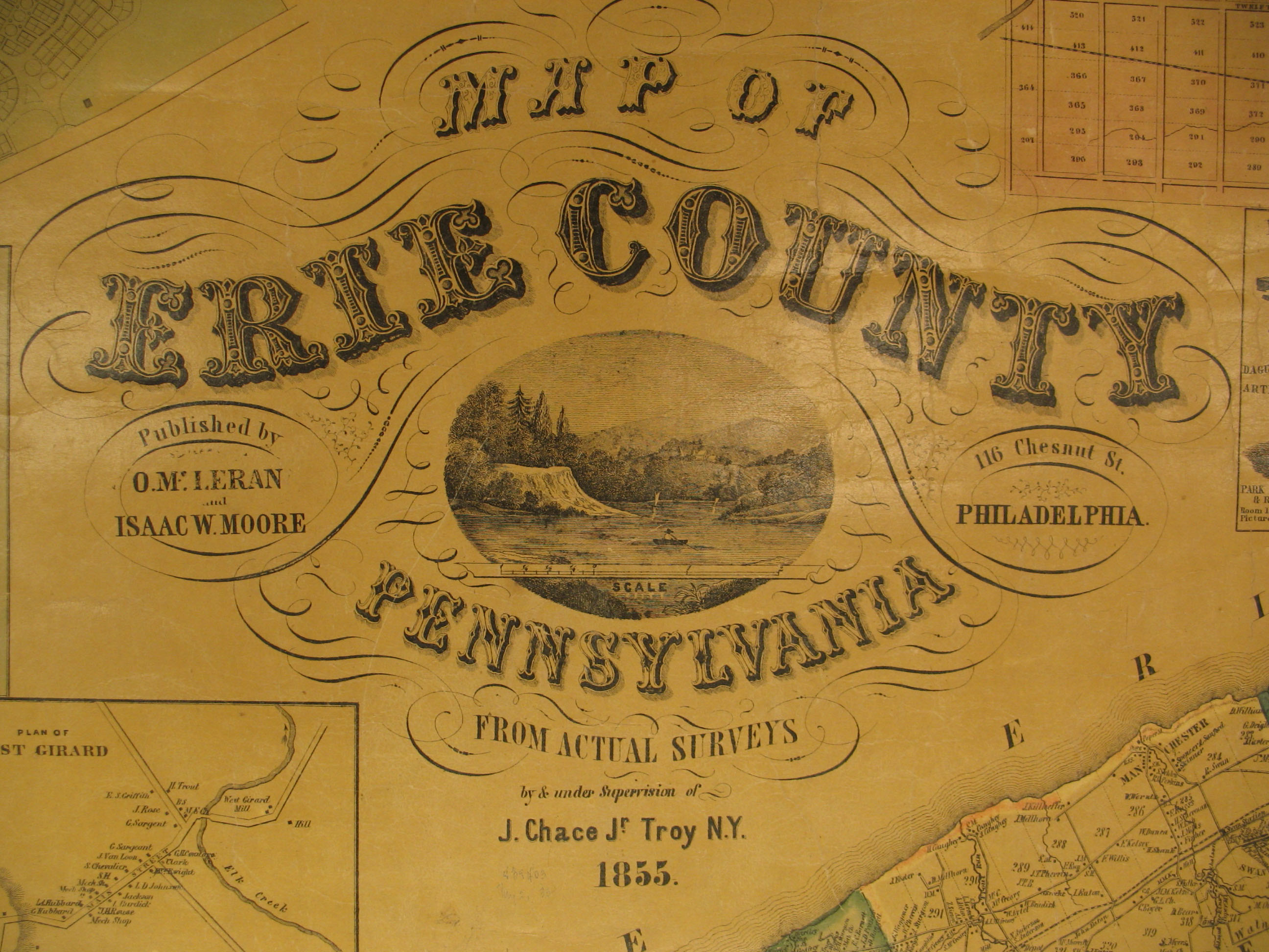
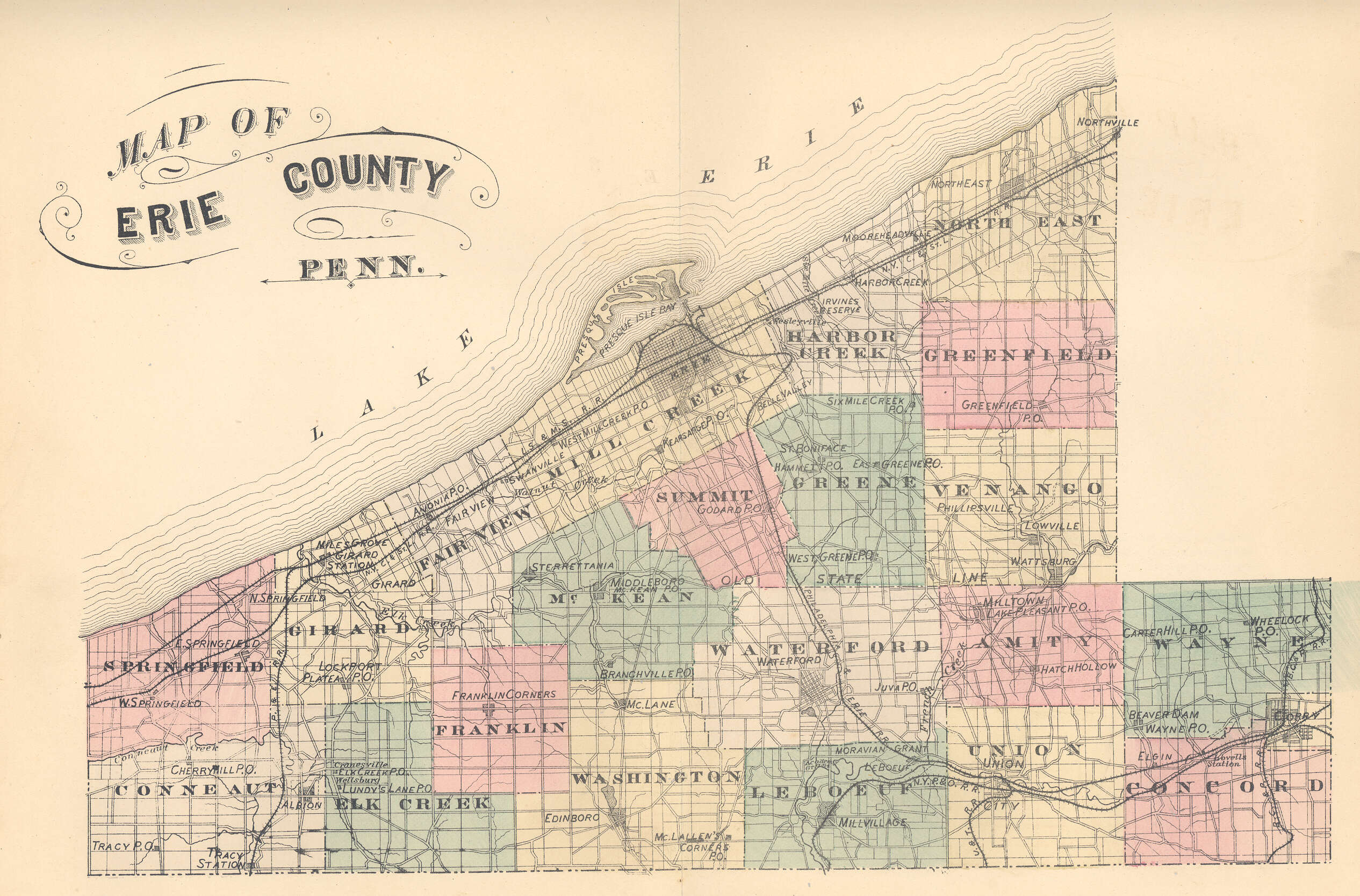
In addition to links to the Warrantee Maps, we are posting free, downloadable images from an 1855 landowner map as well as the 1876 atlas of Erie County which show the actual boundaries of each tract and the number of acres included in it. The wall map and atlas are particularly useful when coupled with the 1860, 1870 and 1880 censuses and published county histories such as the 1884 History of Erie County by Benjamin Whitman. These maps, on file in the Library of Congress, are in the public domain but the images we have taken belong to us and are not to be used for commercial use. For those wishing to use them for personal use (including illustrating a family history you are working on), we give permission to use them, but we would appreciate attribution to Ancestor Tracks. It takes much time and effort to locate, process, and post these and the many other county images we have posted, so we expect and appreciate this courtesy.
Click on the township of your choice and once they have downloaded completely, click on them again to enlarge and clarify them. They may be saved to your computer by right-clicking and selecting "Save Image As..."
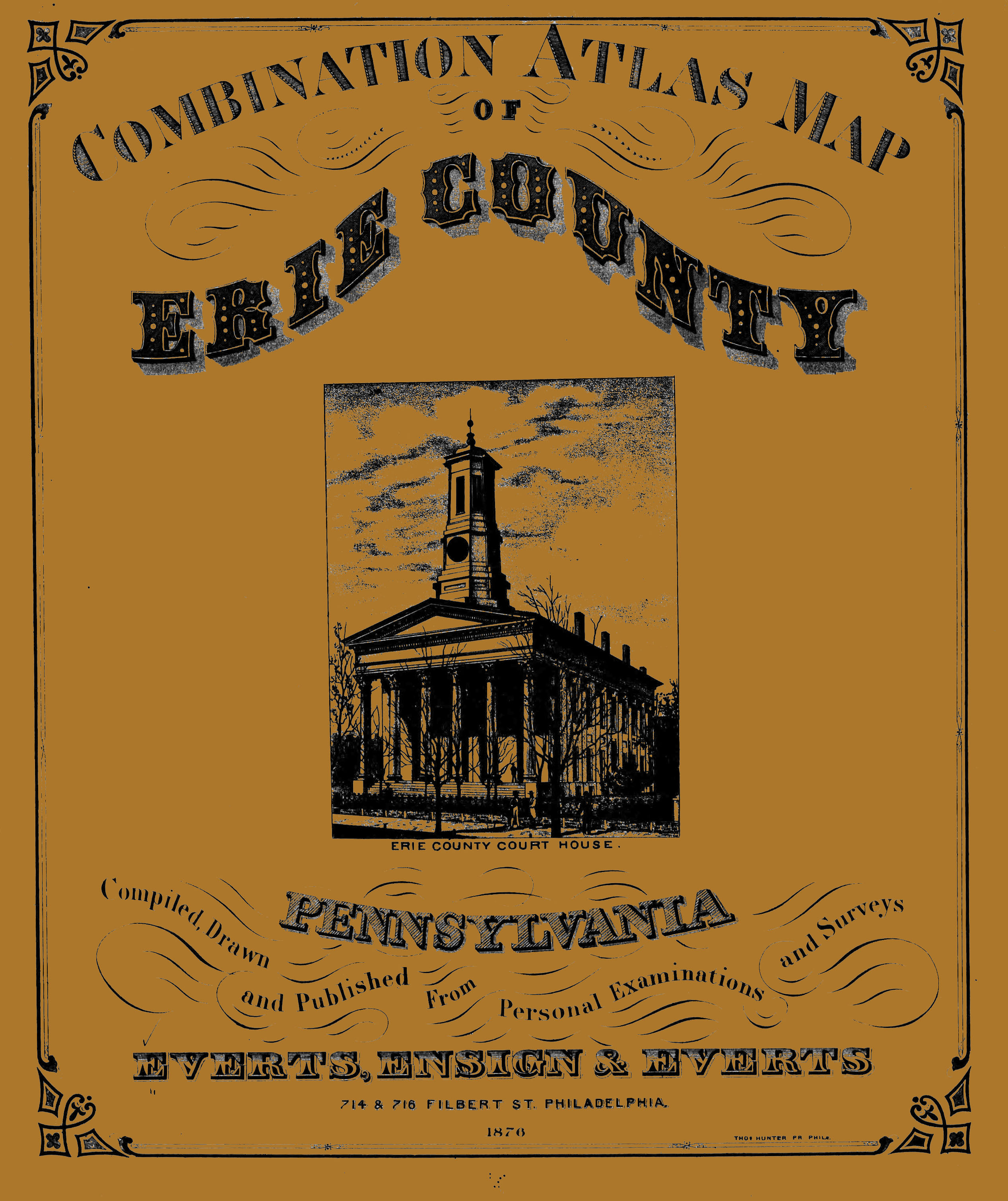
Images of the 1876 Combination Atlas Map of Erie County, Pennsylvania. Compiled, drawn and published from personal examinations and surveys. Everts, Ensign and Everts, Philadelphia are below. Click on the township of your choice. Once the images are loaded, they will appear to be illegible but they can then be enlarged and clarified by clicking on them. They may also be saved to your computer by right-clicking and selecting "Save Image As..."
As mentioned above, the Pennsylvania Archives under the direction of Jonathan Stayer has posted the Warrantee Maps which the Land Office drafted for all townships of Erie County. In addition to the tracts sold to settlers, much land in Erie County was sold to speculators after the Treaty of 1784 (also called the "Last Purchase; see the explanation on the Elk County page). Note that nearly all of the tracts on these maps show the survey book and page number (such as C--227--100, meaning the survey was copied into Survey Book C227, pg. 100), and that these surveys are online.
Erie County Warrantee Maps
|
|
Township Maps
|
Amity Township
|
Click here to go to the order form.
Click here to go to the product page.
Click here to return to the home page.