Greene County
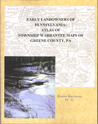
Early Landowners of Pennsylvania: Atlas of Township Warrantee Maps of Greene County
This Greene County atlas contains all of the Township Warrantee Maps which are on file at the Pennsylvania Archives in Harrisburg, thus pinpointing the location of the earliest landowners.
Each Township Warrantee Map was painstakingly platted by draftsmen from the original warrants, surveys, and patents. The maps show precise outlines of each original tract and all surrounding tracts in the township, giving the names of the warrantee and patentee; dates of the warrant, survey, and patent; and the patent and survey books and page of the recorded patent. This Greene County atlas contains one chapter for each township, the plats being warranted as early as 1769 and as late as the 1920s.
Each chapter begins with the Township Warrantee Map reduced to 8 ½ X 11" with an atlas coordinate grid superimposed on the map and is followed by all of the information found on the map (sample page from the Washington Co. volume). Numerous reference notes from Greene County history references have been added, and an everyname index is included.
.png)
If you want to see the residents of Greene Co. 100 years after the original settlement, Caldwell's 1876 Atlas of Greene Co. is online...click here
Click here to go to the order form.
Click here to go to the product page.
Click here to return to the home page.