Illustrated Atlas of Lehigh County, Pennsylvania, 1876
Our goal at Ancestor Tracks is to publish maps and land ownership information allowing genealogy researchers to place more precisely the locations where our ancestors lived. The state of Pennsylvania began platting the exact metes-and-bounds tracts of the earliest landowners, township-by-township, starting in 1907, but the Land Office only completed about 1/3 of the state before the project ended. Unfortunately, Pennsylvania did not plat the tracts of the earliest landowners of Lehigh County. In 1816, Isaac Chapman drew a "Draft of the Original Surveys of Lehigh County," but we have been unable to locate the original version. We are posting a microfilm version on file in the Library of Congress which we have pieced together from four microfilm images--it has been said that the original is framed and is in the basement of the Lehigh Co. Historical Society in Allentown. We apologize for the poor legibility--it was the best we could produce from the dark microfilm.
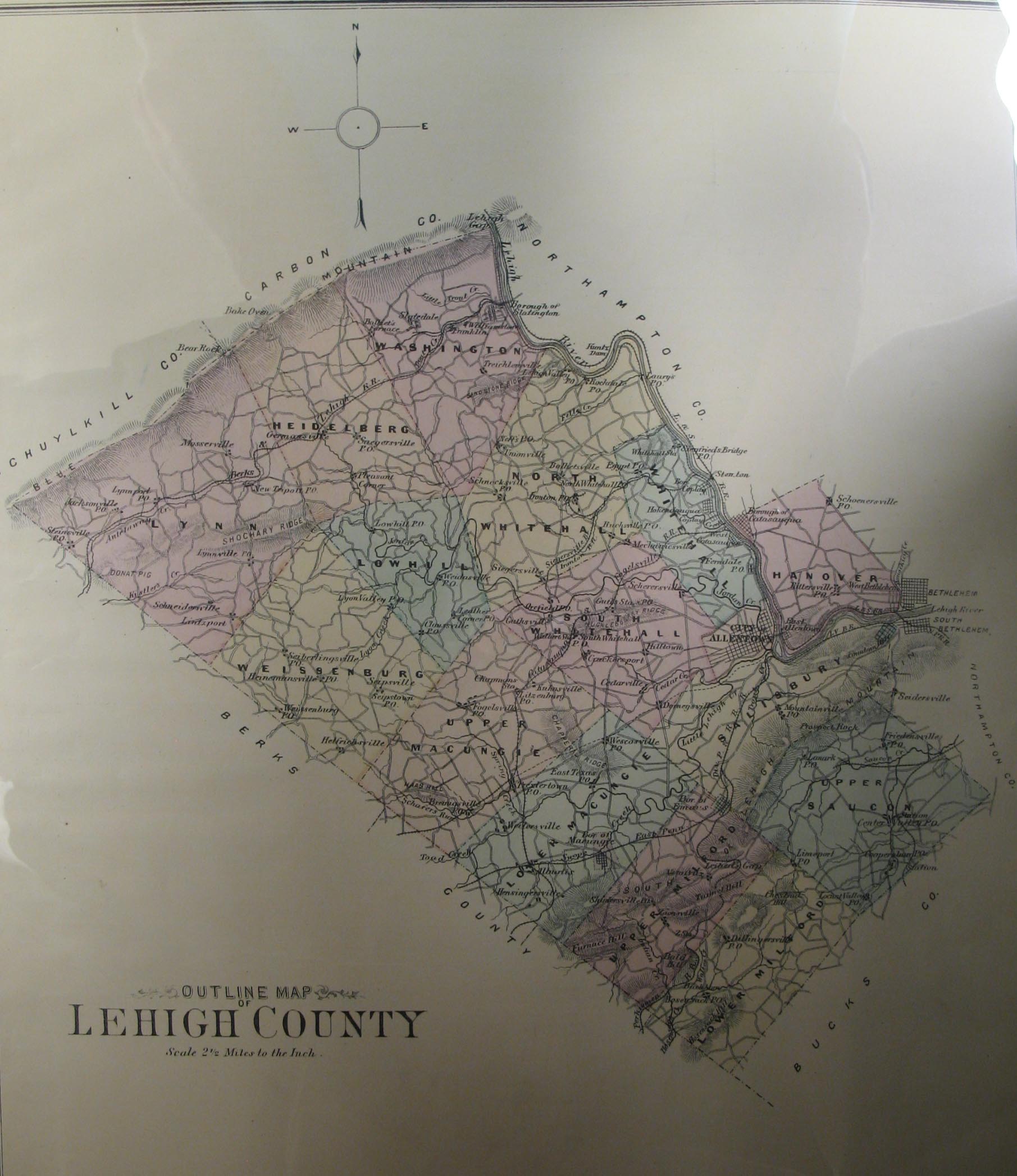
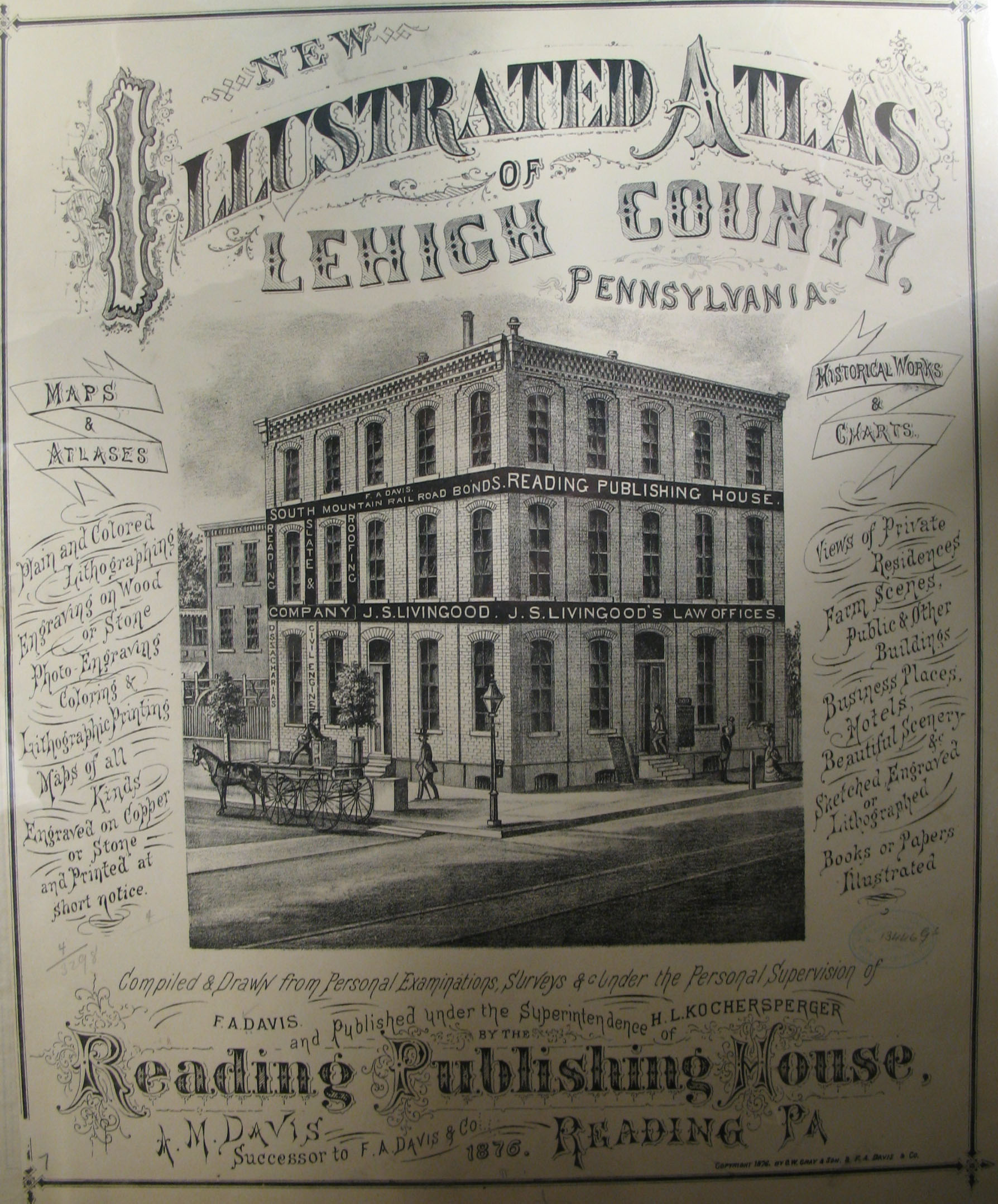
In lieu of being able to bring you Township Warrantee Maps of the earliest settlers, we are posting images from Illustrated Atlas of Lehigh County published in 1876. This atlas is located in the Library of Congress Geography and Map Division Washington, D.C. We hope that it will be a useful tool for locating your Bedford County families when coupled with the 1870 and 1880 census and published county histories.
If your ancestor was actually a first landowner in the county, purchasing his or her property from the colony or state of Pennsylvania, further information about these tracts may be gleaned from the Warrant Register and Patent Register on file at the Pennsylvania Archives in Harrisburg and available on CD from Ancestor Tracks. If your ancestor settled before Lehigh Co. was created in 1812, check in the Northampton County registers which are also included on these CDs. The earliest land warrants were filed under the county as it existed at the time the warrant was issued. Keep in mind that all sales of land after the state or colony transferred ownership to private individuals are recorded at the county courthouse.
Click here to go to the order form.
Click here to go to the product page.
Click here to return to the home page.