![]()
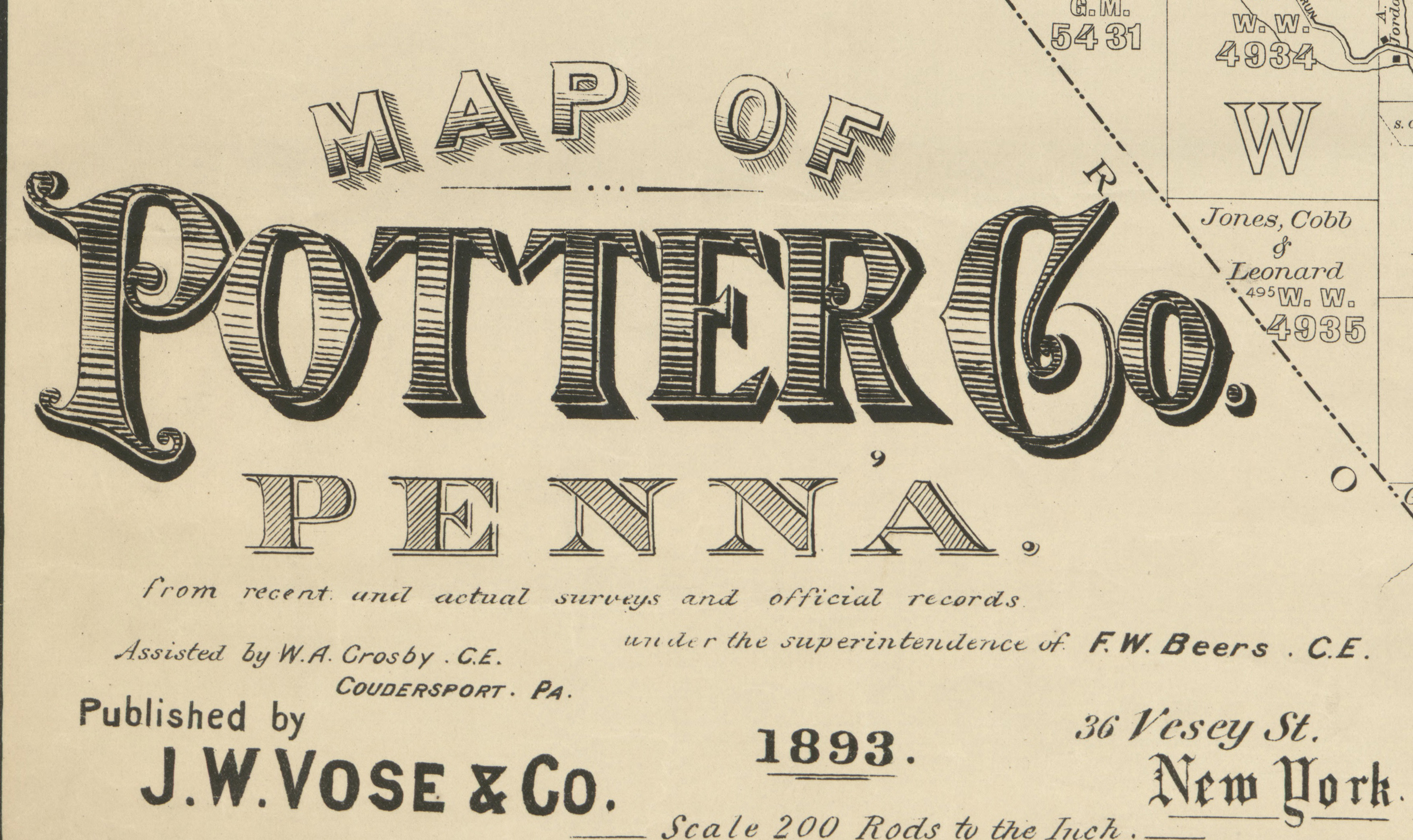
As we have done for numerous Pennsylvania counties (hover over each county on the PA map on our home page), we are posting completely free, downloadable township images from the Map of Potter Co., Penna. from Recent and Actual Surrveys and Official Records published under the superintendence of F.W. Beers by J.W. Vose & Co. in 1893. This map, found in the Library of Congress, is in the public domain but the images we have taken of the atlas posted below belong to us and are not to be used for commercial use. For those wishing to use them for personal use (including illustrating a family history you are working on), we give permission to use them, but we would appreciate attribution to Ancestor Tracks. It takes much time and effort to locate, process, and post these and the many other county images we have posted, so we expect and appreciate this courtesy. We hope that you will find this atlas a useful tool for when coupled with the censuses and published county histories. Click on the township of your choice and once they have downloaded completely, click on them again to enlarge and clarify them. They may be saved to your computer by right-clicking and selecting "Save Image As..."
The following Township Warrantee Maps, showing the metes-and-bounds plats of the first landowners of the county, have been placed online by the Pennsylvania Archives in Harrisburg (the maps below are large and will take time to completely download). Paper versions of these maps are also available from the Archives. Note that this area was part of the Last Purchase of 1784, and vast areas of land were first purchased from the commonwealth of Pennsylvania by land speculators before being resold to settlers. See the explanation of the Last Purchase on our Elk County and Tioga County pages.
| Potter Co. Township Warrantee Maps | |
Click here to return to the Ancestor Tracks home page.
Click here to go to the Ancestor Tracks order form.
Click here to go to the Ancestor Tracks product page.