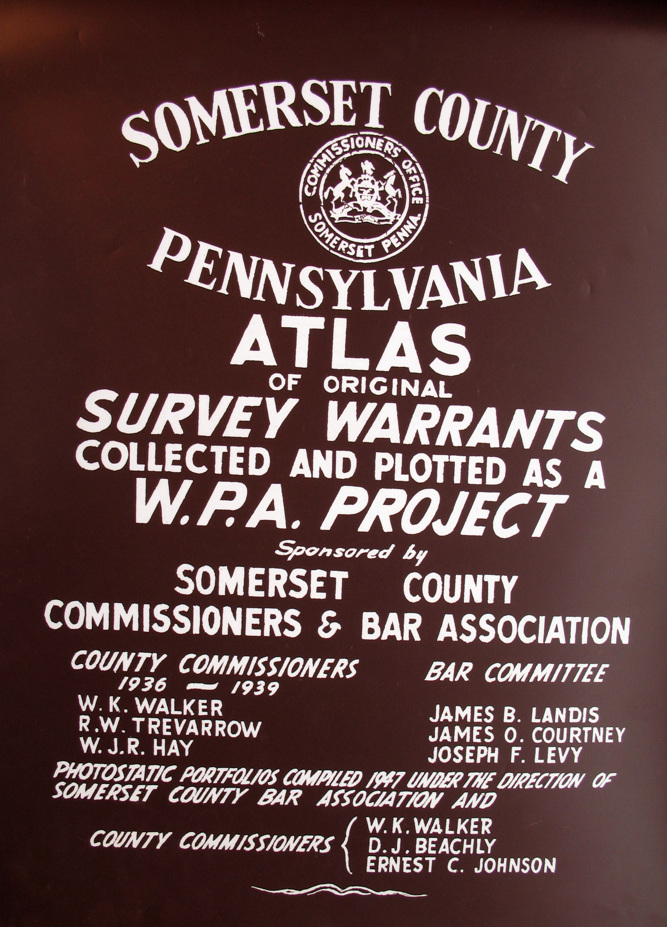
Somerset County Atlas of Surveys and Warrants Collected and Plotted as a WPA Project:
Earliest Landowners
|
A copy of Somerset County Atlas of Surveys and Warrants Collected and Plotted as a WPA Project, published in 1939, is located in the Office of Recorder of Deeds in Somerset. We purchased copies of the maps which we are posting here--we were assured these were the best copies available, although some of the writing is difficult to decipher. They have not been indexed, and if anyone creates an index for a township, we would be thrilled to post it! Somerset Co. was created in 1795 from Bedford County after so many people moved into the area that it became necessary to open a new seat of government for them. Prior to 1771 when Bedford was created, the area belonged to Cumberland Co. Thus, all of these counties should be checked for deeds, wills, etc. If your ancestor was actually a first landowner, purchasing his or her property from the colony or state of Pennsylvania, further information about these tracts may be gleaned from the Cumberland, Bedford, and Somerset County Warrant Registers and Patent Registers contained on our CDs, First Landowners of PA: Colonial and State Warrant Registers in the PA Archives, Harrisburg, 1682-ca 1940 and First Landowners of PA:Indexes to the Colonial and State Patent Registers in the PA Archives, Harrisburg, 1684-ca 1957 Once the images are loaded, they can be enlarged by clicking on them, and they may be saved to your computer by right-clicking and selecting "Save Image As..." Please note that we are including two images for the townships of Somerset and Stoneycreek because quite a few entries were written upside-down.
Click here to go to the order form.
|