Our goal at Ancestor Tracks is to publish maps and land ownership information allowing researchers to place more precisely the locations where our ancestors lived.
Original Land Owners
The state of Pennsylvania began platting the exact metes-and-bounds tracts of the earliest landowners, township-by-township, starting in 1907, but the Land Office only completed about 1/3 of the state before the project ended. Fortunately, Erie County was completed and the Pennsylvania State Archives has been so kind as to post these images online (scroll below for links to these Erie County Township Warrantee Maps).
To learn about the Pennsylvania Land Acquisition process that England set up to distribute colonial land (which basically continues today), as well as the boundary disputes (between Pennsylvania and Maryland, Pennsylvania and Virginia, and Pennsylvania and Connecticut), Revolutionary War Donation and Depreciation land, and land opened through treaties with Indians, see our Land Acquisition page.
Erie County has a storied history with dramatic twists. It was part of the Last Purchase of 1784, and part of the Depreciation and Donation Lands. It was disputed between New York, Pennsylvania, and the Six Nations. Once it was opened for legal settlement (squatters had already settled there), speculators of the Holland Land Company and others bought up many warrants under fictitious names. The southern portion of what would become Erie County was included in Northumberland County in 1788.
The Erie Triangle was claimed by Massachusetts, Connecticut and New York who gave up their claims to the federal government in the 1780s and it was added to Allegheny County, Pennsylvania, in 1792 after paying the Six Nations to relinquish their rights. In 1799 survey districts were redrawn and new deputy surveyors were appointed to eliminate collusion between the former deputy surveyors and speculators.
After consulting the Last Purchase Register and Donation Land Register, the draftsmen at the Pennsylvania Land Office used the Warrant and Patent Registers to create the Warrantee Maps. They searched each county and parent county, then each alphabetical section chronologically, in the set of 67 county Warrant Registers plus 3 pre-1733 ledgers called First Landowners of PA: Colonial and State Warrant Registers in the PA Archives, Harrisburg, 1682-ca 1940 ($35) which can now be downloaded and saved to your computer. (Free images are also posted on the Pennsylvania State Archives website where each page of each county’s ledger is a separate pdf file). The Pennsylvania State Archives has posted the online survey books (both front and back side of each survey have been digitized) and you can order copies of the original documents from the Pennsylvania State Archives in Harrisburg using their order form. The draftsmen also searched Pennsylvania’s index to Patent Registers ($35). Within an index covering the relevant years, the names are grouped alphabetically by the first letter of the patentee’s surname, then grouped by volume number of Patent Book, and finally arranged chronologically by date of patent. Thus, the entire alphabetical section must be searched (which may be as little as one page to as many as 50) so as not to miss anyone.
Please note that these land transfers predate the deed books located in each county because they deal with the first transfer of land to private individuals from Pennsylvania’s colonial or state government. Once the land passed into the hands of a private owner, any subsequent transfer of the land was recorded as deeds in the county courthouse as it existed at that time.
19th-Century Residents
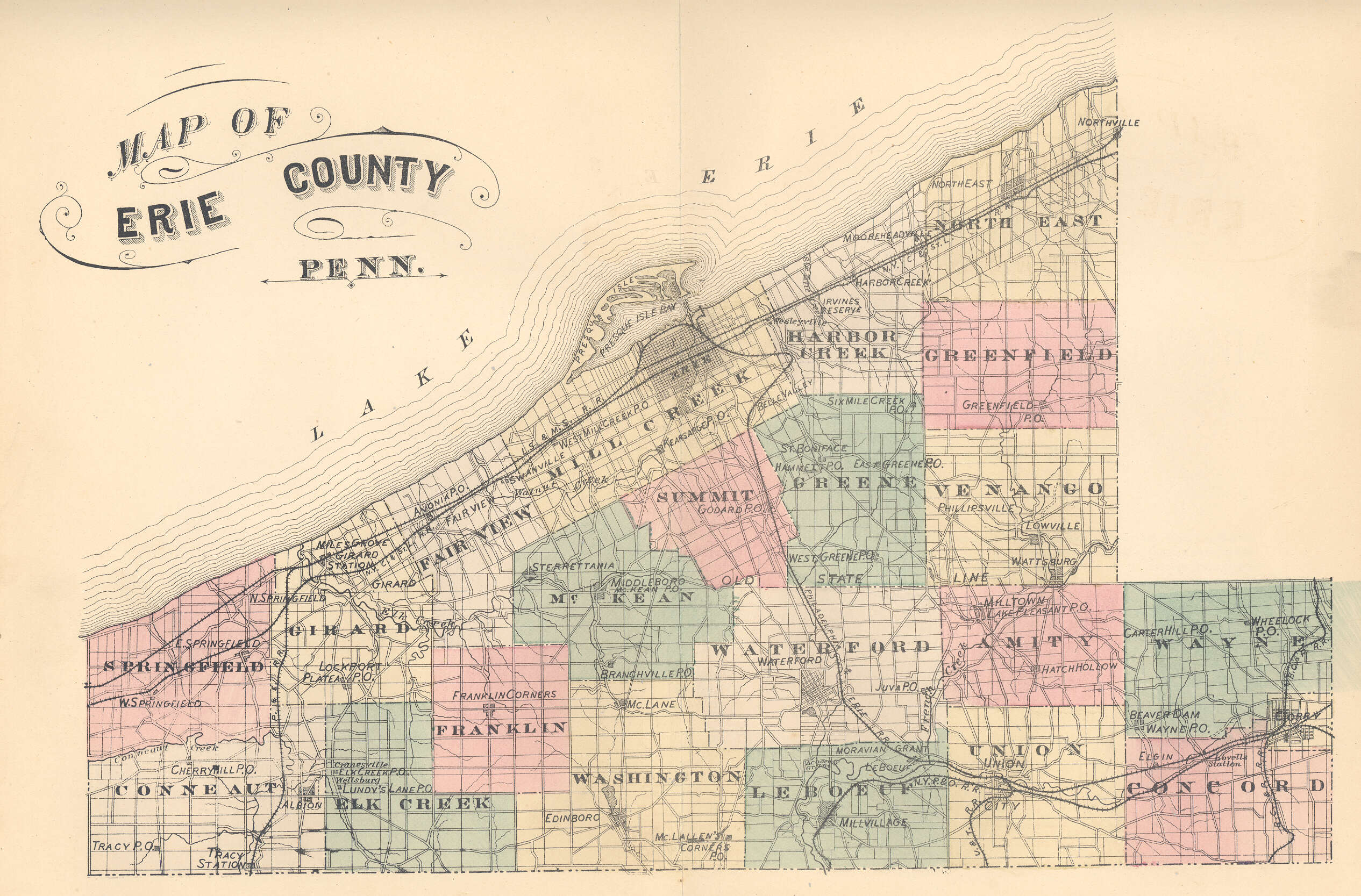
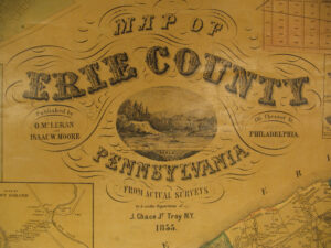
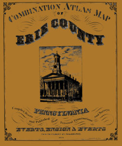
As we have done for numerous Pennsylvania counties (hover over each county on the PA map), we are posting completely free, downloadable township images from the an 1855 landowner map as well as the 1876 atlas of Erie County which show the actual boundaries of each tract and the number of acres included in it. The wall map and atlas are particularly useful when coupled with the 1860, 1870 and 1880 censuses and published county histories such as: (1) Laura Sanford’s 1862 The History of Erie County, Pennsylvania; (2)Samuel Bates’ 1884 History of Erie County, Pennsylvania; (3) Laura Sanford’s 1894 The History of Erie County, Pennsylvania, from its First Settlement; John Miller’s 1909 A Twentieth Century History of Erie County, Pennsylvania (Volume I and Volume II) and (4) John Emer Reed’s 1925 History of Erie County, Pennsylvania (Volume I and Volume II).