Ancestor Tracks is committed to becoming a one-stop resource for researchers of early Pennsylvania landowners. In addition to publishing our own books, we are posting images of 19th century maps and atlases that we personally took in the Library of Congress. Our goal is to post landowner maps, or links to other websites with landowner maps, for every county in the state.
Original Land Owners
Starting in 1907, the state of Pennsylvania began platting the exact metes-and-bounds tracts of the earliest landowners, township-by-township using loose surveys in their possession, but the Land Office only completed about 1/3 of the state before the project ended. Unfortunately, only one township (Springfield Township) was platted in Huntingdon County before the project ended. See our explanation of how land was transferred from the government to individual owners from the earliest days of settlement.
The only way to find the date, book and page of the original warrant, survey, and patent for your ancestor is to search for him or her in the correct alphabetical section and then chronologically through county Warrant Registers on the Pennsylvania State Archives website where each page of each county’s ledger is a separate pdf file, or download and save to your computer the entire set of 67 county Warrant Registers plus 3 pre-1733 ledgers called First Landowners of PA: Colonial and State Warrant Registers in the PA Archives, Harrisburg, 1682-ca 1940 ($35). Remember that Huntingdon County was created in 1787 from Bedford Co. which was, in turn, created from Cumberland Co. in 1771. Therefore, if your ancestors lived in Huntingdon County before it was created in 1787, don’t forget to consult the Bedford and Cumberland County Warrant Registers. Once you have found the information, you can access the free online surveys, and you can order copies of the original documents from the Pennsylvania State Archives in Harrisburg using their order form. Please note that these land transfers predate the deed books located in each county because they deal with the first transfer of land to private individuals from Pennsylvania’s colonial or state government.
If you cannot find an original landowner’s name in the Warrant Registers, the next place to look is in Pennsylvania’s index to Patent Registers ($35). Within an index covering the relevant years, the names are grouped alphabetically by the first letter of the patentee’s surname, then grouped by volume number of Patent Book, and finally arranged chronologically by date of patent. Thus, you have to look through the entire alphabetical section (which may be as little as one page to as many as 50) to be sure you don’t miss anyone.
19th-Century Residents
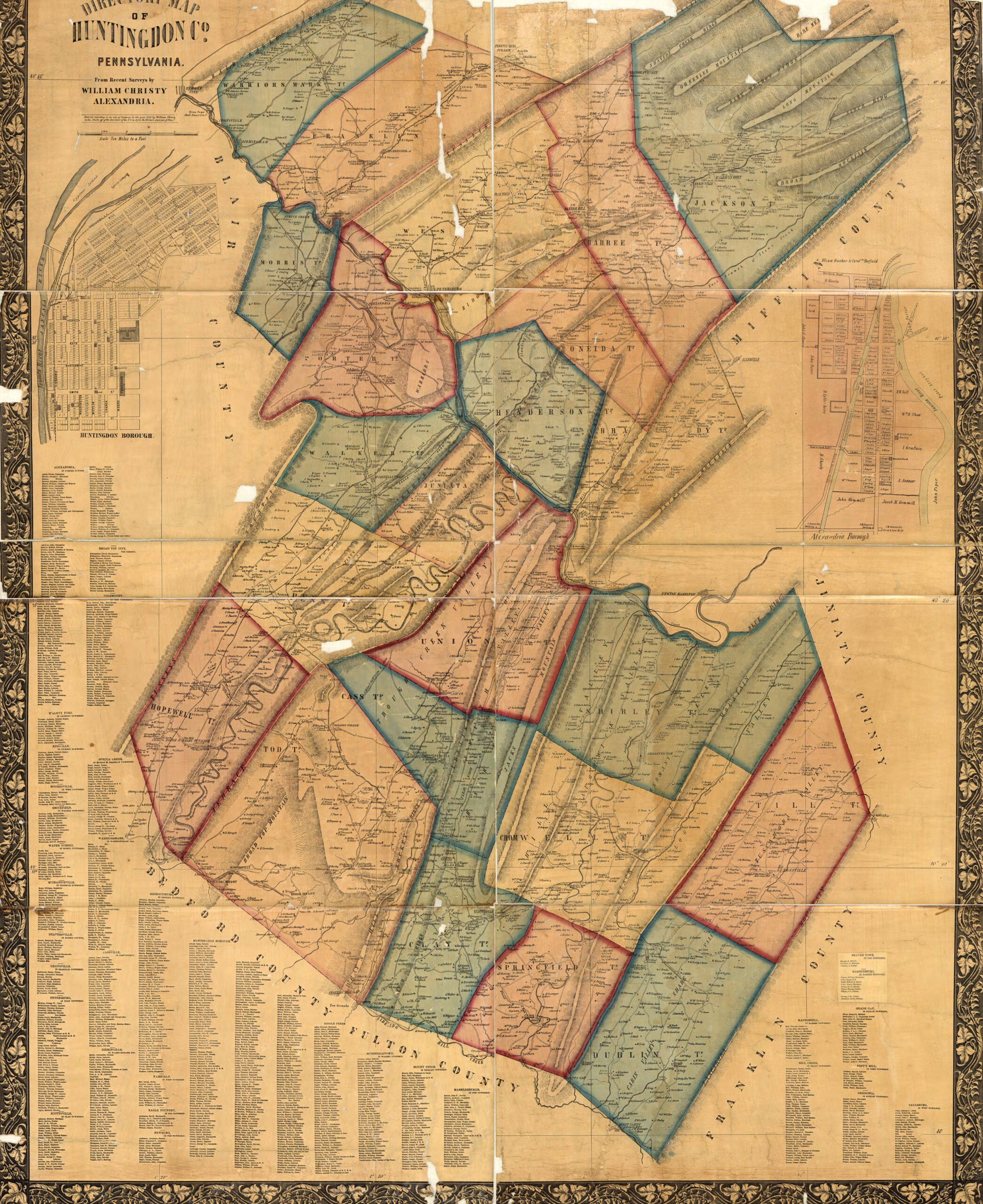
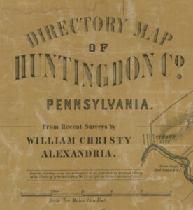
In lieu of being able to bring you Township Warrantee Maps of the earliest settlers, we are posting the Directory Map of Huntingdon County, Pennsylvania, from Recent Surveys by William Christy published in 1856. This map is located in the Library of Congress Geography and Map Division Washington, D.C. We hope that it will be a useful tool for locating your Huntingdon County families when coupled with the 1860 and other censuses as well as the four county histories that deal at least partially with Huntingdon County: Daniel Rupp’s 1847 History and Topography of Northumberland, Huntingdon, Mifflin, Centre, Union, Columbia, Juniata and Clinton Counties, Pa; Louis Everts’ 1883History of Huntingdon and Blair Counties, Pennsylvania; Milton Scott Lytle’s 1876History of Huntingdon County in the State of Pennsylvania.; and the 1913A History of the Juniata Valley and Its People (Volume I, Volume II, and Volume III). All can be downloaded and saved to your computer.