Our goal at Ancestor Tracks is to publish maps and land ownership information allowing researchers to pinpoint the locations where our ancestors lived.
Original Land Owners
The following Township Warrantee Maps, showing the metes-and-bounds plats of the first landowners of the county, have been placed online by the Pennsylvania State Archives in Harrisburg (the maps that we have linked to below are large and will take time to completely download). Note that this area was part of the Last Purchase of 1784, and vast areas of land were first purchased from the commonwealth of Pennsylvania by land speculators before being resold to settlers. See the explanation of the Last Purchase on our Elk County page.
To learn about the Pennsylvania Land Acquisition process that England set up to distribute colonial land (which basically continues today), as well as the boundary disputes (between Pennsylvania and Maryland, Pennsylvania and Virginia, and Pennsylvania and Connecticut), Revolutionary War Donation and Depreciation land, and land opened through treaties with Indians, see our Land Acquisition page.
The draftsmen at the Pennsylvania Land Office used the Warrant and Patent Registers to create the Warrantee Maps. They searched each county and parent county, then each alphabetical section chronologically, in the set of 67 county Warrant Registers plus 3 pre-1733 ledgers called First Landowners of PA: Colonial and State Warrant Registers in the PA Archives, Harrisburg, 1682-ca 1940 ($35) which can now be downloaded and saved to your computer. (Free images are also posted on the Pennsylvania State Archives website where each page of each county’s ledger is a separate pdf file). The Pennsylvania State Archives has posted the online survey books (both front and back side of each survey have been digitized) and you can order copies of the original documents from the Pennsylvania State Archives in Harrisburg using their order form. The draftsmen also searched Pennsylvania’s index to Patent Registers ($35). Within an index covering the relevant years, the names are grouped alphabetically by the first letter of the patentee’s surname, then grouped by volume number of Patent Book, and finally arranged chronologically by date of patent. Thus, the entire alphabetical section must be searched (which may be as little as one page to as many as 50) so as not to miss anyone.
These land transfers predate the deed books located in each county because they deal with the first transfer of land to private individuals from Pennsylvania’s colonial or state government. Once the land passed into the hands of a private owner, any subsequent transfer of the land was recorded as deeds in the county courthouse as it existed at that time.
19th-Century Residents
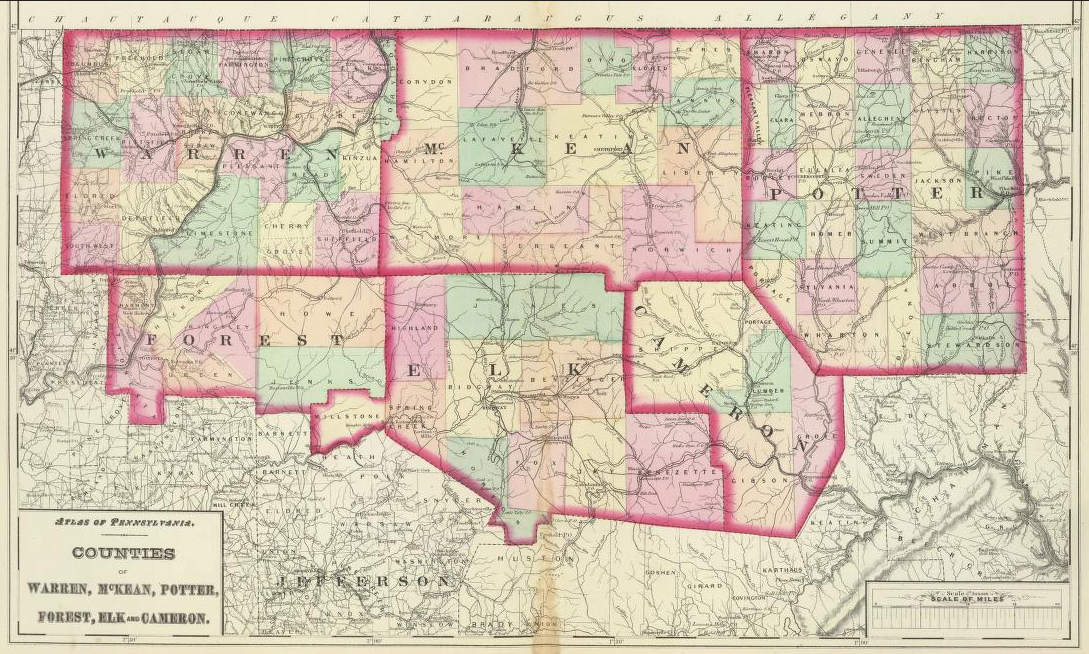
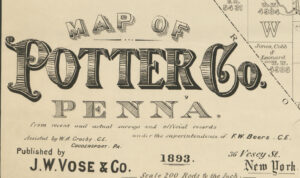
As we have done for numerous Pennsylvania counties (hover over each county on the PA map), we are posting free, downloadable township images from the 1893 Map of Potter Co., Penna. from Recent and Actual Surveys and Official Records published under the superintendence of F.W. Beers by J.W. Vose & Co. We hope these maps will be helpful when coupled with the 1850, 1860, 1870 and 1880 censuses and published county histories such as the 1890 History of the Counties of McKean, Elk, Cameron, and Potter and McKnight’s 1905 A Pioneer Outline History of Northwestern Pennsylvania, Embracing the Counties of Tioga, Potter, McKean, Warren, Crawford, Venango, Forest, Clarion, Elk, Jefferson, Cameron, Butler, Lawrence, and Mercer.