Ancestor Tracks is committed to becoming a one-stop resource for researchers of early Pennsylvania landowners. In addition to publishing our own books, we are posting images of 19th century maps and atlases that we personally took in the Library of Congress. Our goal is to post landowner maps, or links to other websites with landowner maps, for every county in the state.
Original Land Owners
The state of Pennsylvania began platting the exact metes-and-bounds tracts of the earliest landowners, township-by-township, starting in 1907, but the Land Office only completed about 1/3 of the state before the project ended. See our explanation of how land was transferred from the government to individual owners from the earliest days of settlement.
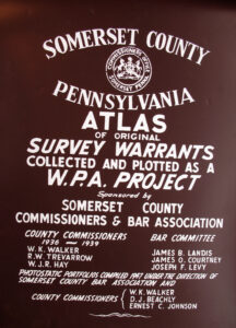
We are incredibly fortunate that, while Pennsylvania did not plat the tracts of the earliest landowners of Somerset County, it was taken on as a project by the Works Progress Administration (WPA). We are posting those maps below (scroll toward bottom).
Somerset Co. was created in 1795 from Bedford County after so many people moved into the area that it became necessary to open a new seat of government for them. Prior to 1771 when Bedford was created, the area belonged to Cumberland Co. Thus, all of these counties should be checked for warrants, deeds, wills, etc. If your ancestor was actually a first landowner, purchasing his or her property from the colony or state of Pennsylvania, he or she should be on these warrantee maps drafted under the WPA. Information on most tracts is as follows: (1) Name of the warrantee, (2) size of the tract, (3) warrant date, and (4) usually the survey date. With this data, you can find out more about the first owner(s) of the tract; then you can compare it to the 1876 atlas we are posting to find the location of the tract. Here is the process:
- Use the date of the warrant to open the correct Warrant Register (Cumberland, Bedford, or Somerset County) on the Pennsylvania State Archives website where each page of each county’s ledger is a separate pdf file, or download and save to your computer the entire set of 67 county Warrant Registers plus 3 pre-1733 ledgers called First Landowners of PA: Colonial and State Warrant Registers in the PA Archives, Harrisburg, 1682-ca 1940 ($35).
- Navigate to the first letter of the surname in the warrant register. For example, a 446-acre tract was warranted to Abraham Stein in Brothers Valley Twp (see top left of the township warrantee map for his tract). His warrant was dated 1 Aug 1794. Open the Bedford Co. Warrant Register and look in the “S” section for the correct date. You will see that his survey was returned to the Land Office for patenting to John D. Roddey on 21 Nov 1864 and that the survey is recorded in Survey Book D28, pg. 257 (see last two columns).
- Click on the Survey Book (in this case, D28) and then the page number (pg. 257) to see the survey, which was actually conducted 10 Aug 1795 for Abraham Stein. You can access online surveys for free, and you can order copies of the original documents from the Pennsylvania State Archives in Harrisburg using their order form.
- According to the Bedford Co. Warrant Register, Roddey’s patent was recorded in Patent Book H58, pg. 96. The index to Patent Book H58, pg. 96, shows that John D. Roddy patented the tract 21 Nov 1864, the same date the survey was returned to the Land Office for patenting (issuance of final title to the tract), over 70 years after the warrant was issued! You can access all of the Indexes to Patent Registers here ($35). Patents were entered into ledgers by year, not county. They are grouped alphabetically by the first letter of the patentee’s surname, then grouped by volume number of Patent Book, and finally arranged chronologically by date of patent. Thus, you have to look through the entire alphabetical section (which may be as little as one page to as many as 50) to be sure you don’t miss anyone.
- Keep in mind that all transactions involving land after a patent was issued is recorded at the county courthouse.
19th-Century Residents
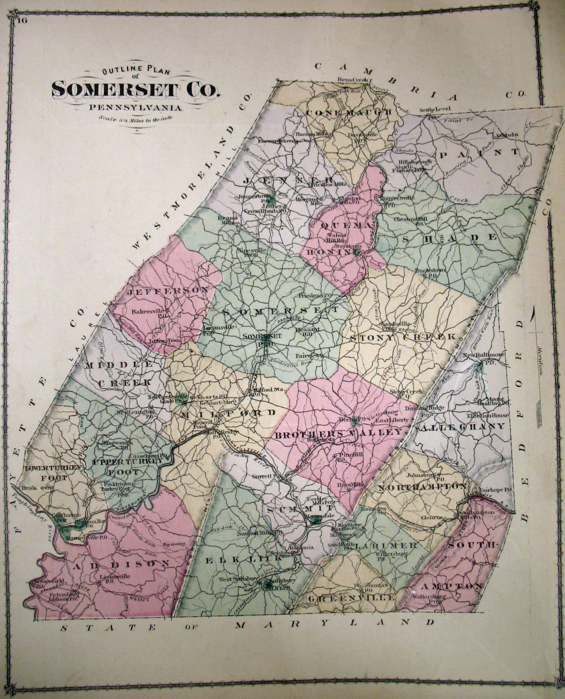
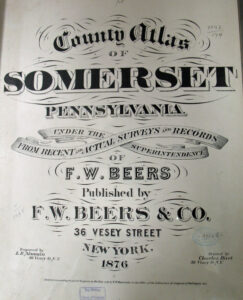
In addition to the WPA Warrant Atlas below, we are posting free, downloadable images of the County Atlas of Somerset, Pennsylvania published by F. W. Beers & Co. in 1876. We hope that it will be a useful tool for locating your Somerset County families when coupled with the 1860 and 1870 censuses and published county histories such as the 1884 History of Bedford, Somerset and Fulton Counties, Pennsylvania and the 3-volume History of Bedford and Somerset Counties published in 1906 (Volume I; Volume II; Volume III).
If your ancestor was in the county before 1795 while it was still part of Bedford County, check out the website “Mother Bedford” maintained by Larry D. Smith. Larry has written extensively about early Bedford Co. and has posted much research, especially about early settlers and the Revolutionary War.
Finally, the Library of Congress has posted the circa 1860 Map of Somerset County by Edward L. Walker. Use your mouse to zoom in and out. Also, see the 1860 wall map of Somerset County in the Leventhal Map Center of Boston Public Library (click and zoom).