Ancestor Tracks is committed to becoming a one-stop resource for researchers of early Pennsylvania landowners. In addition to publishing our own books, we are posting images of 19th century maps and atlases that we personally took in the Library of Congress. Our goal is to post landowner maps, or links to other websites with landowner maps, for every county in the state.
Original Land Owners
The state of Pennsylvania began platting the exact metes-and-bounds tracts of the earliest landowners, township-by-township, starting in 1907, but the Land Office only completed about 1/3 of the state before the project ended. Unfortunately, the state of Pennsylvania did not plat the original warrantees and patentees on Union County township maps, other than for White Deer Township. However, there is a very large map hanging in the upstairs hallway of the Union County Courthouse that shows the first landowners. We took photos of the map (you can see the very indistinct images below the 1856 and 1868 map images) but a professional photographer needs to be engaged to do it justice.
The only way to find the date, book and page of the original warrant, survey, and patent for your ancestor is to do what the state draftsmen did to create their warrantee maps of other counties. They searched through the relevant county Warrant Register, and that of its parent counties, now posted on the Pennsylvania State Archives website where each page of each county’s ledger is a separate pdf file, or download and save to your computer the entire set of 67 county Warrant Registers plus 3 pre-1733 ledgers called First Landowners of PA: Colonial and State Warrant Registers in the PA Archives, Harrisburg, 1682-ca 1940 ($35). Once you have found the information, including the Survey Book and page number, you can access the free online surveys. You can also order copies of the original documents from the Pennsylvania State Archives in Harrisburg using their order form.
If you cannot find an original landowner’s name in the Warrant Registers, the next place to look is in Pennsylvania’s index to Patent Registers ($35). Within an index covering the relevant years, the names are grouped alphabetically by the first letter of the patentee’s surname, then grouped by volume number of Patent Book, and finally arranged chronologically by date of patent. Thus, you have to look through the entire alphabetical section (which may be as little as one page to as many as 50) to be sure you don’t miss anyone. See our explanation of how land was transferred from the government to individual owners from the earliest days of settlement.
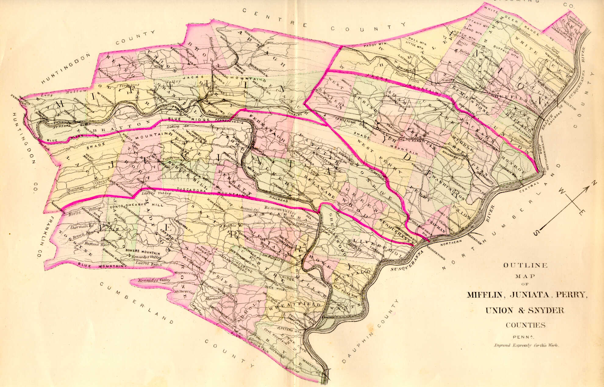
The area that became Union county was settled by Pennsylvania Germans from Lancaster and Berks Counties in the 1740s while it was loosely connected with Lancaster County. Parts of Union and Snyder Counties were originally split between Berks County and Lancaster County (1750-1772) and then the two counties were absorbed into Northumberland County (1772-1813). Union County was created in 1813 and included Snyder County; finally, Snyder became its own county in 1855. These dates are important, as the earliest land warrants were filed under the county as it existed at the time the warrant was issued.
Please note that these land transfers predate the deed books located in each county because they deal with the first transfer of land to private individuals from Pennsylvania’s colonial or state government. Once the land passed into the hands of a private owner, any subsequent transfer of the land was recorded as deeds in the county courthouse as it existed at that time.
19th-Century Residents
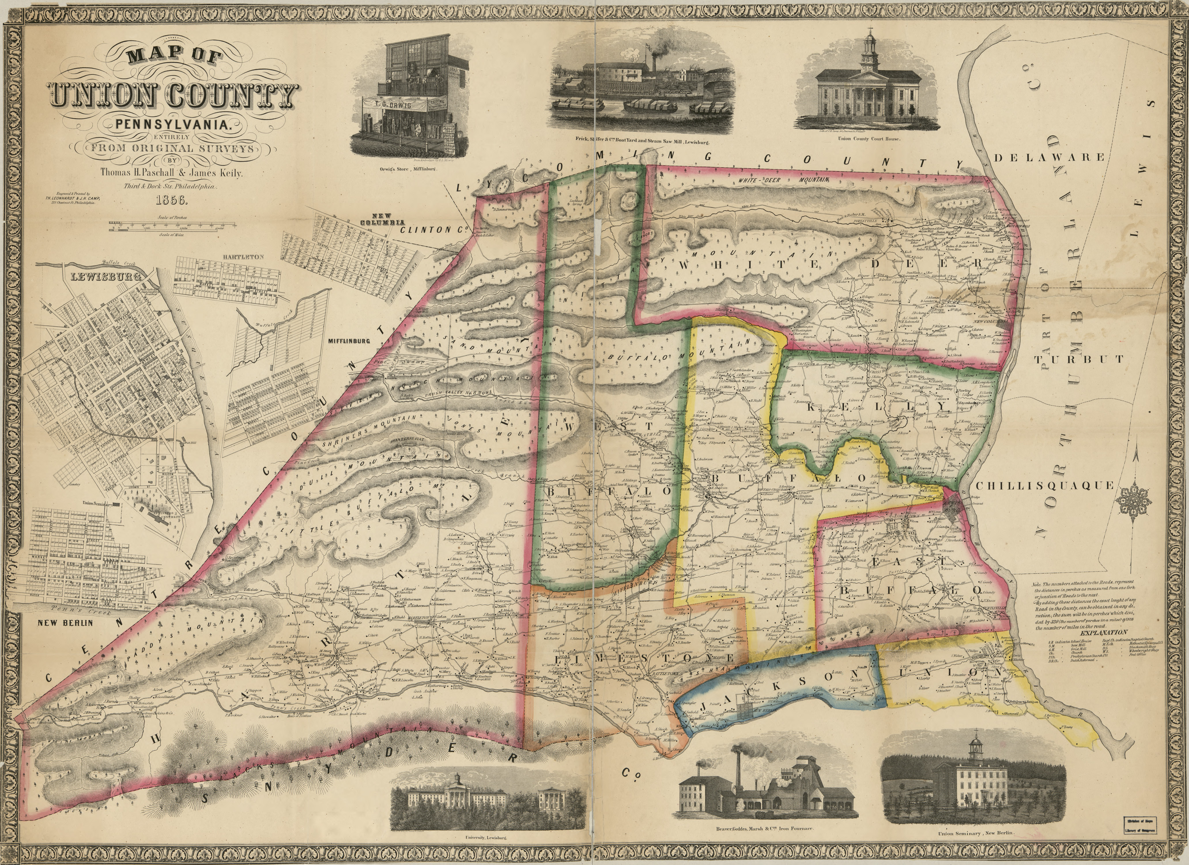
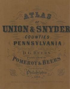
As we have done for numerous Pennsylvania counties (hover over each county on the PA map), we are posting free, downloadable township images of from two sources that show residents: (1) The 1856 Map of Union County, Pennsylvania, Entirely from Original Surveys” by Thomas Pashall and James Keily; and (2) the 1868 Atlas of Union & Snyder Counties, Pennsylvania published by Pomeroy & Beers.
We hope that these landowner maps will be useful tools for locating your Union County families when coupled with the 1850-1880 census. They should also be an indispensable aid when used in conjunction with downloadable county histories: (1) Daniel Rupp’s 1847 History and Topography of Northumberland, Huntingdon, Mifflin, Centre, Union, Columbia, Juniata and Clinton Counties; (2) John Blair Linn’s Annals of Buffalo Valley, Pennsylvania which was published in 1877 and mentions many of the owners found in this 1868 atlas; and (3) Franklin Ellis’ 1886 History of that Part of the Susquehanna and Juniata Valleys Embraced in the Counties of Mifflin, Juniata, Perry, Union and Snyder in the Commonwealth of Pennsylvania (Volume I and Volume II).